Kopaihorod
Kopaihorod (Ukrainian: Копайгород) is an urban-type settlement in Zhmerynka Raion of Vinnytsia Oblast in Ukraine. It is located on the banks of the Nemiia, a left tributary of the Dniester. Kopaihorod hosts the administration of Kopaihorod settlement hromada, one of the hromadas of Ukraine.[1] Population: 1,206 (2022 estimate)[2]
Kopaihorod
Копайгород | |
|---|---|
Urban-type settlement | |
 Holy Sprit Church in Kopaihorod | |
 Kopaihorod Location in Vinnytsia Oblast 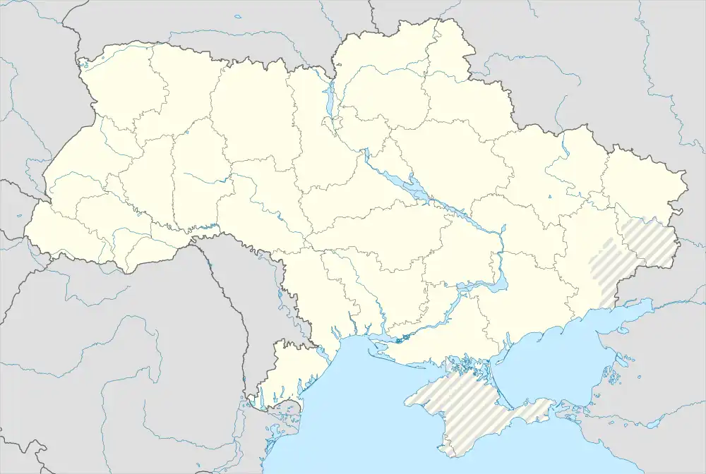 Kopaihorod Location in Ukraine | |
| Coordinates: 48°51′16″N 27°48′05″E | |
| Country | Ukraine |
| Oblast | Vinnytsia Oblast |
| Raion | Zhmerynka Raion |
| Population (2022) | |
| • Total | 1,206 |
| Time zone | UTC+2 (EET) |
| • Summer (DST) | UTC+3 (EEST) |
Until 18 July 2020, Kopaihorod belonged to Bar Raion. The raion was abolished in July 2020 as part of the administrative reform of Ukraine, which reduced the number of raions of Vinnytsia Oblast to six. The area of Bar Raion was merged into Zhmerynka Raion.[3][4]
Economy
Transportation
The closest railway station, Kopai, is about 5 kilometres (3.1 mi) northwest of the settlement. It is on the railway line connecting Zhmerynka and Mohyliv-Podilskyi. There is infrequent passenger traffic.
The settlement has access to Highway M21 connecting Vinnytsia and Mohyliv-Podilskyi.
References
- "Копайгородская поселковая громада" (in Russian). Портал об'єднаних громад України.
- Чисельність наявного населення України на 1 січня 2022 [Number of Present Population of Ukraine, as of January 1, 2022] (PDF) (in Ukrainian and English). Kyiv: State Statistics Service of Ukraine. Archived (PDF) from the original on 4 July 2022.
- "Про утворення та ліквідацію районів. Постанова Верховної Ради України № 807-ІХ". Голос України (in Ukrainian). 2020-07-18. Retrieved 2020-10-03.
- "Нові райони: карти + склад" (in Ukrainian). Міністерство розвитку громад та територій України.