Kreileroord
Kreileroord is a village in the Dutch province of North Holland. It is a part of the municipality of Hollands Kroon, and lies about 21 km north of Hoorn.
Kreileroord | |
|---|---|
Village | |
 Inhabitants arrive in the new village (1957) | |
 Kreileroord Location in the Netherlands 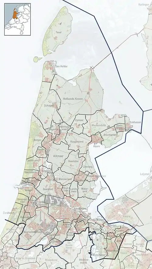 Kreileroord Location in the province of North Holland in the Netherlands | |
| Coordinates: 52°50′32″N 5°4′53″E | |
| Country | Netherlands |
| Province | North Holland |
| Municipality | Hollands Kroon |
| Established | 1957 |
| Area | |
| • Total | 0.19 km2 (0.07 sq mi) |
| Elevation | −4.0 m (−13.1 ft) |
| Population (2021)[1] | |
| • Total | 585 |
| • Density | 3,100/km2 (8,000/sq mi) |
| Time zone | UTC+1 (CET) |
| • Summer (DST) | UTC+2 (CEST) |
| Postal code | 1773[1] |
| Dialing code | 0227 |
The settlement started around 1930 as Dorp IV (village IV). In the 1950s, the current name was selected. It refers to a peat excavation are on the former island of Creil in the former Zuiderzee. See also: the village Creil in the Noordoostpolder.[3] The village was officially founded in 1957 for farm workers.[4]
References
- "Kerncijfers wijken en buurten 2021". Central Bureau of Statistics. Retrieved 30 April 2022.
- "Postcodetool for 1773AA". Actueel Hoogtebestand Nederland (in Dutch). Het Waterschapshuis. Retrieved 30 April 2022.
- "Kreileroord - (geografische naam)". Etymologiebank (in Dutch). Retrieved 30 April 2022.
- "Kreileroord". Plaatsengids (in Dutch). Retrieved 30 April 2022.
Wikimedia Commons has media related to Kreileroord.
This article is issued from Wikipedia. The text is licensed under Creative Commons - Attribution - Sharealike. Additional terms may apply for the media files.