Kriveni
Kriveni (Macedonian: Кривени) is a village in the northern part of Resen Municipality in North Macedonia. The village is located roughly 5.5 kilometres (3.4 mi) north of the municipal centre of Resen.[1]
Kriveni
Кривени | |
|---|---|
Village | |
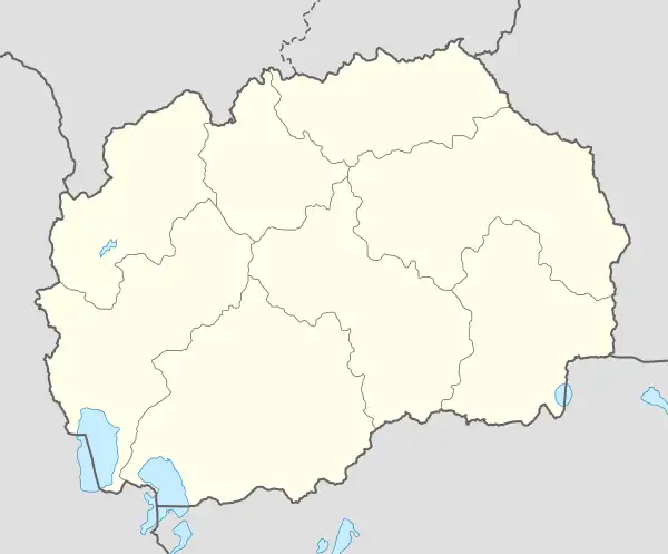
 Kriveni Location within North Macedonia | |
| Coordinates: 41°08′25″N 21°01′26″E | |
| Country | |
| Region | |
| Municipality | |
| Population (2002) | |
| • Total | 27 |
| Time zone | UTC+1 (CET) |
| • Summer (DST) | UTC+2 (CEST) |
| Area code | +389 |
| Car plates | RE |
History
Just east of the present-day village lies an archaeological site from Late Antiquity, known as Češino. Another site within the village's territory dates from the Roman era.[2]
Demographics
Kriveni has 27 inhabitants as of the most recent census of 2002,[3] having suffered a sharp population decline in the past several decades.[4]
| Ethnic group |
census 1961 | census 1971 | census 1981 | census 1991 | census 1994 | census 2002 | ||||||
|---|---|---|---|---|---|---|---|---|---|---|---|---|
| Number | % | Number | % | Number | % | Number | % | Number | % | Number | % | |
| Macedonians | 440 | 99.3 | 302 | 100 | 139 | 95.9 | 72 | 98.6 | 49 | 100 | 27 | 100 |
| others | 3 | 0.7 | 0 | 0.0 | 6 | 4.1 | 1 | 1.4 | 0 | 0.0 | 0 | 0.0 |
| Total | 443 | 302 | 145 | 73 | 49 | 27 | ||||||
Religion
Kriveni has one church, dedicated to St George.[5]
People from Kriveni
- Pande Božinovski, soldier in the Spanish Civil War[6]
- Gero Resenski (? - 1905), member of the Internal Macedonian Revolutionary Organization[7]
- Krste Stojanov (1880 - 1905), member of the Internal Macedonian Revolutionary Organization[8]
References
- "Kriveni". Retrieved 3 March 2014.
- Koco, Dimče (1996). Археолошка карта на Република Македонија. Skopje: MANU. ISBN 9789989101069
- "Municipality of Resen". Archived from the original on 2018-08-31. Retrieved 2014-03-03.
- Censuses of population 1948 - 2002 Archived October 14, 2013, at the Wayback Machine
- "Karta na Verski Objekti vo Republika Makedonija" (PDF) (in Macedonian). Skopje: Komisija za odnosi so verskite zaednici i religiozni grupi. Archived from the original (PDF) on 24 January 2014. Retrieved 27 April 2014.
- Перо Коробар, Божо Стефановски (ур.) „Во интернационалните бригади на Шпанија“, „Студентски збор“, Skopje, 1989, 215-220
- Daskalov, Georgi. Българите в Егейска Македония.
- Bilyarski, Tsocho. Вътрешната македоно-одринска революционна организация (1893 - 1919 г.) - Документи на централните ръководни органи, Том I, Част I, УИ "Св. Климент, Охридски, Sofia, 2007, стр.342
This article is issued from Wikipedia. The text is licensed under Creative Commons - Attribution - Sharealike. Additional terms may apply for the media files.