Kumakahpan
Kumakahpan is a Wayana village in the Sipaliwini District of Suriname. The village lies on the banks of the Lawa River, which forms the border with French Guiana.[2]
Kumakahpan | |
|---|---|
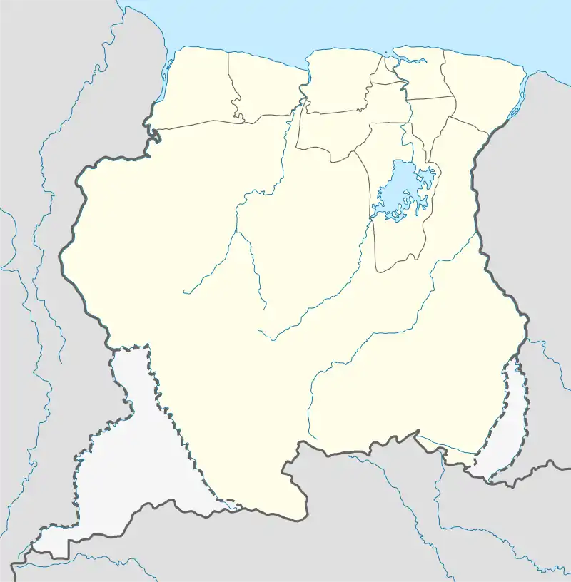 Kumakahpan Location in Suriname | |
| Coordinates: 3°21′40″N 54°3′31″W | |
| Country | Suriname |
| District | Sipaliwini District |
| Resort (municipality) | Tapanahony |
| Government | |
| • Basya | Anita Alijana[1] |
| Population (2020)[1] | |
| • Total | 27 |
Name
Kumakahpan means "place of the kumakah". Kumakah and Kankantri are local names for Ceiba pentandra, the kapok tree.[2][3]
Geography
Kumakahpan lies about 7 km (4.3 mi) downstream the Lawa River from the village of Antecume Pata and 5.5 km (3.4 mi) upstream the Lawa River from the villages of Kulumuli and Pïleike.
Notes
- VIDS 2022.
- Boven 2006, p. 102.
- Teunissen 1976, p. 126.
References
- Boven, Karin M. (2006). Overleven in een Grensgebied: Veranderingsprocessen bij de Wayana in Suriname en Frans-Guyana [Survival in a Border Region: Processes of Change among the Wayana in Suriname and French Guiana] (PDF) (in Dutch). Amsterdam: Rozenberg Publishers.
- Teunissen, P. A. (1976). "Notes on the vegetation of Suriname: 1. Vegetation changes in a dammed up fresh water swamp in NW Suriname". Acta Amazonica. 6 (2): 117–150. Archived from the original on 28 May 2022.
- VIDS (2022). "Dorpen en Dorpsbesturen" [Villages and Village Boards]. Vereniging van Inheemse Dorpshoofden in Suriname (VIDS) [Association of Indigenous Village Chiefs in Suriname] (in Dutch). Distrikt Sipaliwini: 43. Archived from the original on 15 December 2022. Retrieved 8 May 2023.
This article is issued from Wikipedia. The text is licensed under Creative Commons - Attribution - Sharealike. Additional terms may apply for the media files.