Kunparrka, Northern Territory
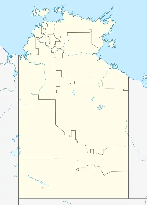
Kunparrka is a locality in the Northern Territory, Australia, located about 1,210 kilometres (750 mi) south of the territory capital of Darwin.[3]
| Kunparrka Northern Territory | |||||||||||||||
|---|---|---|---|---|---|---|---|---|---|---|---|---|---|---|---|
 Kunparrka | |||||||||||||||
| Coordinates | 23°17′12″S 132°3′2″E | ||||||||||||||
| Population | 121 (2021 census)[1] | ||||||||||||||
| • Density | 0.02062/km2 (0.05341/sq mi) | ||||||||||||||
| Established | 3 April 2007[2] | ||||||||||||||
| Postcode(s) | 0872 [3] | ||||||||||||||
| Area | 5,867.344 km2 (2,265.4 sq mi)[4] | ||||||||||||||
| Time zone | ACST (UTC+9:30) | ||||||||||||||
| Location | 1,210 km (752 mi) S of Darwin City[3] | ||||||||||||||
| LGA(s) | MacDonnell Region[2] | ||||||||||||||
| Territory electorate(s) | Namatjira[5] | ||||||||||||||
| Federal division(s) | Lingiari[6] | ||||||||||||||
| |||||||||||||||
| |||||||||||||||
| Footnotes | Adjoining localities[8][9] | ||||||||||||||
Kunparrka is located within the federal division of Lingiari, the territory electoral division of Namatjira and the local government area of the MacDonnell Region.[6][5][8]
History
The locality’s boundaries and name were gazetted on 3 April 2007. It is named after the Kunparrka Aboriginal Land Trust.[2]
Demographics
As of the 2021 Australian census, 121 people resided in Kunparrka,[1] up from 112 in the 2016 census.[10] The median age of persons in Kunparrka was 34 years. There were fewer males than females, with 46% of the population male and 54% female. The average household size was 3.9 people per household.[1]
References
- Australian Bureau of Statistics (28 June 2022). "Kunparrka (State Suburb)". 2021 Census QuickStats. Retrieved 24 June 2023.
- "Place Names Register Extract for Kunparrka". NT Place Names Register. Northern Territory Government. Retrieved 24 June 2023.
- "Namatjira Postcode". postcode-finders.com.au. Archived from the original on 13 November 2022. Retrieved 24 June 2023.
- "Kunparrka". Australia’s Guide Pty Ltd. Archived from the original on 24 October 2020. Retrieved 24 June 2023.
- "Division of Namatjira". Northern Territory Electoral Commission. Archived from the original on 20 March 2020. Retrieved 12 April 2020.
- "Federal electoral division of Lingiari". Australian Electoral Commission. Retrieved 12 April 2020.
- "Monthly climate statistics: Summary statistics ALICE SPRINGS AIRPORT (nearest weather station)". Commonwealth of Australia , Bureau of Meteorology. Retrieved 12 April 2020.
- "Localities within McDonnell Shire (sic) (map)" (PDF). Northern Territory Government. 2 April 2007. Archived from the original (PDF) on 24 March 2018. Retrieved 12 April 2020.
- "Localities within the Alice Springs Sub-region (CP5075)". NT Place Names Register. Northern Territory Government. 29 November 2006. Archived from the original on 1 April 2019. Retrieved 12 April 2020.
- Australian Bureau of Statistics (27 June 2017). "Kunparrka (State Suburb)". 2016 Census QuickStats. Retrieved 24 June 2023.
This article is issued from Wikipedia. The text is licensed under Creative Commons - Attribution - Sharealike. Additional terms may apply for the media files.