Kyigon, Kale Township
Kyigon is a village in Kale Township, Kale District, in the Sagaing Region of western Burma (Myanmar).[1][2] Kyigon is located on the left (north) bank of the Myittha River about 2.4 kilometres (1.5 mi) above where the Neyinzaya River enters the Myittha.[3][4] It is about 8.8 kilometres (5.5 mi) northeast of the regional capital at Kalemyo.[5]
Kyigon | |
|---|---|
Village | |
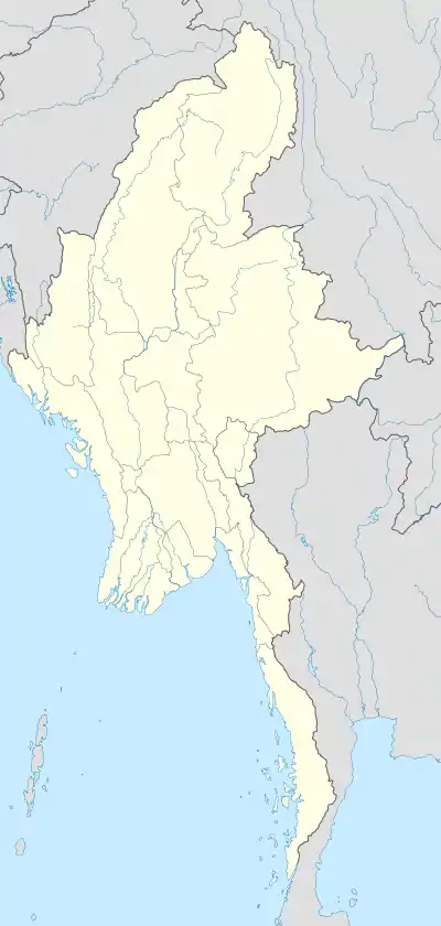 Kyigon Location in Burma | |
| Coordinates: 23°13′46″N 94°08′01″E | |
| Country | |
| Region | Sagaing Region |
| District | Kale District |
| Township | Kale Township |
| Time zone | UTC+6.30 (MST) |
Notes
- Google Maps (Map). Google.
- Bing Maps (Map). Microsoft and Harris Corporation Earthstar Geographics LLC.
- Scott, James George and Hardiman, John Percy (1901) Gazetteer of Upper Burma and the Shan States, Part 2, Volume 1 Superintendent, Government Printing, Rangoon, Burma, page 279, OCLC 5769734
- Burma 1:250,000 topographic map, Series U542, NF 46-03, Mawlaik U.S. Army Map Service, March 1960
- "Kalemyo, Myanmar (Burma)" GeoNames.org
External links

This article is issued from Wikipedia. The text is licensed under Creative Commons - Attribution - Sharealike. Additional terms may apply for the media files.