Laar, Beekdaelen
Laar (Dutch pronunciation: [ˈlaːr]; Limburgish: Laor [ˈlɔːʀ]) is a hamlet in the Dutch province of Limburg. It is located just to the south of the town Beekdaelen.[2] The A76 motorway divides the hamlet in two parts: the largest part, to the west, is part of the municipality of Nuth; the eastern part is in municipality Heerlen. There are no place name signs and it consist of about 10 houses.[3]
Laar
Laor | |
|---|---|
Hamlet | |
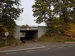
 A76 underpass in Laar | |
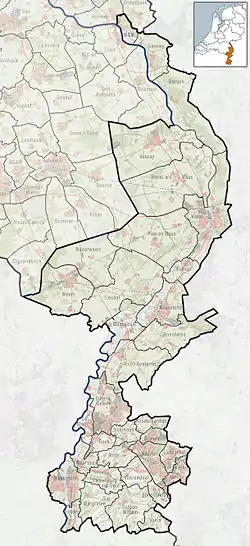
 Laar Location in the Netherlands  Laar Location in the province of Limburg in the Netherlands | |
| Coordinates: 50°54′52″N 5°54′9″E | |
| Country | Netherlands |
| Province | Limburg |
| Municipality | Beekdaelen Heerlen |
| Time zone | UTC+1 (CET) |
| • Summer (DST) | UTC+2 (CEST) |
| Postal code | 6361[1] |
| Dialing code | 045[1] |
References
- "Postcode 6432 in Hoensbroek". Postcode bij adres (in Dutch). Retrieved 23 April 2022.
- ANWB Topografische Atlas Nederland, Topografische Dienst and ANWB, 2005.
- "Laar (Wijnandsrade)". Plaatsengids (in Dutch). Retrieved 23 April 2022.
Wikimedia Commons has media related to Laar (Beekdaelen).
This article is issued from Wikipedia. The text is licensed under Creative Commons - Attribution - Sharealike. Additional terms may apply for the media files.