Laljhadi Rural Municipality
Laljhadi (Nepali: लालझाँडी) is a Gaupalika in Kanchanpur District in the Sudurpashchim Province of far-western Nepal.[1] Laljhadi has a population of 22569.The land area is 154.65 km2.[2] It was formed by merging Shankarpur, Baise Bichwa (ward 1–4) and Dekhtabhul (ward 1–3, 5–7,9) VDCs.
Laljhadi Rural Municipality
लालझाँडी गाउँपालिका | |
|---|---|
 Laljhadi Rural Municipality लालझाँडी गाउँपालिका  Laljhadi Rural Municipality Laljhadi Rural Municipality (Nepal) | |
| Coordinates: 28.764°N 80.427°E--> | |
| Country | |
| Province | Sudurpashchim Province |
| District | Kanchanpur District |
| Government | |
| • Type | Local government |
| • Chairperson | Madan Sen Badayak |
| • Administrative Head | Sher Bahadur Buda |
| Area | |
| • Total | 154.65 km2 (59.71 sq mi) |
| Population | |
| • Total | 22,569 |
| • Density | 150/km2 (380/sq mi) |
| Time zone | UTC+05:45 (Nepal Standard Time) |
| Website | http://laljhadimun.gov.np |
Demographics
At the time of the 2011 Nepal census, Laljhadi Rural Municipality had a population of 22,569. Of these, 76.7% spoke Tharu, 12.0% Doteli, 3.4% Magar, 2.7% Baitadeli, 2.0% Nepali, 1.5% Darchuleli, 0.8% Bajhangi, 0.2% Achhami, 0.1% Bajureli, 0.1% Hindi, 0.1% Maithili and 0.2% other languages as their first language.[3]
In terms of ethnicity/caste, 77.0% were Tharu, 9.7% Chhetri, 3.5% Magar, 3.4% Hill Brahmin, 1.5% Sanyasi/Dasnami, 1.3% other Dalit, 1.0% Kami, 0.9% Thakuri, 0.5% Sarki, 0.3% Badi, 0.3% Damai/Dholi, 0.2% other Terai, 0.1% Hajjam/Thakur, 0.1% Limbu, 0.1% Lohar and 0.2% others.[4]
In terms of religion, 92.5% were Hindu, 6.3% Christian, 0.6% Prakriti, 0.4% Baháʼí and 0.1% others.[5]
In terms of literacy, 61.7% could read and write, 2.6% could only read and 35.7% could neither read nor write.[6]
References
- "Ministry of Federal Affairs". Retrieved 6 July 2020.
- "National Population and Housing Census 2011(National Report)" (PDF). Central Bureau of Statistics. Government of Nepal. 2012. Archived from the original (PDF) on 2013-04-18. Retrieved 2012-01-01.
- NepalMap Language
- NepalMap Caste
- NepalMap Religion
- NepalMap Literacy
Headquarters: Bheemdatta | ||
| Municipalities | 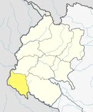 | |
| Rural municipalities | ||
| Former VDCs | ||
List of municipalities and rural municipalities of Nepal | ||