Lanai Airport
Lanai Airport[2] (IATA: LNY, ICAO: PHNY, FAA LID: LNY), also written as Lānaʻi Airport, is a state-owned public-use airport located three nautical miles or about 3.4 miles (6 km) southwest of the central business district of Lanai City (Lānaʻi City), in Maui County, Hawaii.[1] The airport began regular operations in 1930.[3] It is the only airport serving the island of Lanai (Lānaʻi).
Lanai Airport Kahua Mokulele o Lāna‘i | |||||||||||
|---|---|---|---|---|---|---|---|---|---|---|---|
| Summary | |||||||||||
| Airport type | Public | ||||||||||
| Owner/Operator | Hawaii Department of Transportation | ||||||||||
| Serves | Lanai | ||||||||||
| Elevation AMSL | 1,308 ft / 399 m | ||||||||||
| Coordinates | 20°47′08″N 156°57′05″W | ||||||||||
| Website | hawaii | ||||||||||
| Map | |||||||||||
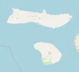 LNY Location of airport in Hawaii 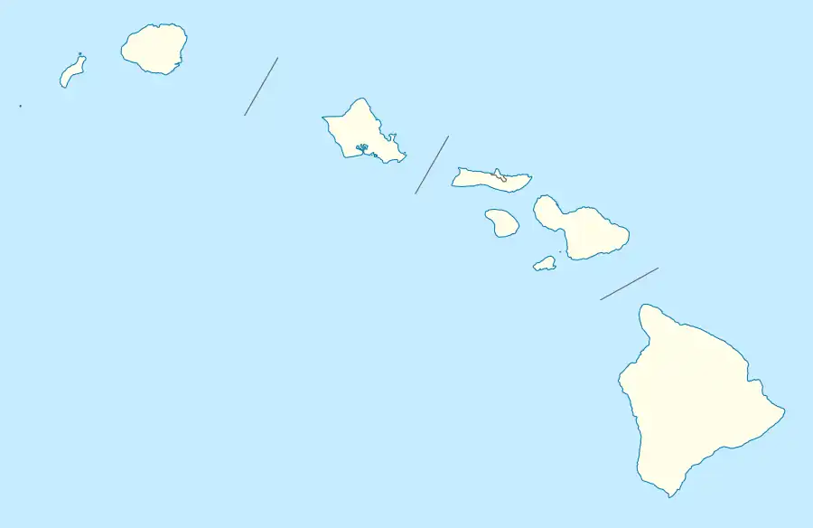 LNY LNY (Hawaii) | |||||||||||
| Runways | |||||||||||
| |||||||||||
| Statistics (2016) | |||||||||||
| |||||||||||
It is included in the Federal Aviation Administration (FAA) National Plan of Integrated Airport Systems for 2021–2025, in which it is categorized as a non-hub primary commercial service facility.[4]
Facilities and aircraft
The airport covers an area of 505 acres (204 ha) at an elevation of 1,308 feet (399 m) above mean sea level. It has one runway designated 3/21 with an asphalt surface measuring 5,001 by 150 feet (1,524 x 46 m).[1]
For the 12-month period ending July 31, 2016, the airport had 6,326 aircraft operations, an average of 17 per day: 65% air taxi, 25% scheduled commercial, 9% general aviation and 1% military. In April 2022, there were no aircraft based at this airport.[1]
The only commercial airline, Mokulele Airlines, operates Cessna Grand Caravan 208EX aircraft into Lanai.
Airlines and destinations
| Airlines | Destinations |
|---|---|
| Mokulele Airlines | Honolulu, Kahului, Molokai |
Statistics
Top destinations
| Rank | City | Passengers | Carriers |
|---|---|---|---|
| 1 | Honolulu, Hawaii | 24,000 | Mokulele |
| 2 | Kahului, Hawaii | 7,000 | Mokulele |
| 3 | Molokai, Hawaii | 1,000 | Mokulele |
Accidents and incidents
| Date | Flight Number | Information |
|---|---|---|
| 26 February 2014 | - | A charted twin-engine Piper PA-31 Navajo aircraft operated by Maui Air crashed after takeoff from Lanai Airport one mile away. The plane was carrying a pilot and five employees of Maui County. The pilot and two passengers were killed, while the other three passengers were injured. |
See also
References
- FAA Airport Form 5010 for LNY PDF. Federal Aviation Administration. effective April 21, 2022.
- "Lanai Airport". State of Hawaii. Retrieved June 16, 2012.
- "Lanai Airport". Hawaii Aviation. Retrieved January 1, 2015.
- "List of NPIAS Airports" (PDF). FAA.gov. Federal Aviation Administration. 21 October 2016. Retrieved 23 December 2016.
- Research and Innovative Technology Administration (RITA). "Lanai, HI: Lanai Airport (LNY) Scheduled Services except Freight/Mail". U.S. Department of Transportation (US DOT). Retrieved February 9, 2023.
External links
- Lanai Airport
- Hawaii State Department of Transportation
- Topographic map from USGS The National Map
- FAA Terminal Procedures for LNY, effective October 5, 2023
- Resources for this airport:
- FAA airport information for LNY
- AirNav airport information for PHNY
- ASN accident history for LNY
- FlightAware airport information and live flight tracker
- NOAA/NWS latest weather observations for PHNY
- SkyVector aeronautical chart for LNY