Lapseki District
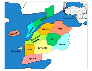
Lapseki District is a district of the Çanakkale Province of Turkey. Its seat is the town of Lapseki.[1] Its area is 821 km2,[2] and its population is 28,742 (2021).[3]
Lapseki District | |
|---|---|
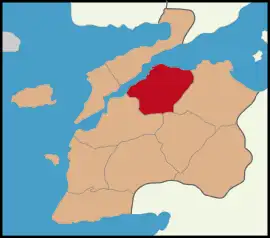
 Map showing Lapseki District in Çanakkale Province | |
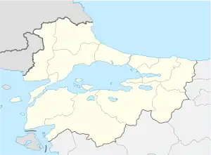
 Lapseki District Location in Turkey  Lapseki District Lapseki District (Marmara) | |
| Coordinates: 40°19′N 26°43′E | |
| Country | Turkey |
| Province | Çanakkale |
| Seat | Lapseki |
| Government | |
| • Kaymakam | Emre Öztürk |
| Area | 821 km2 (317 sq mi) |
| Population (2021) | 28,742 |
| • Density | 35/km2 (91/sq mi) |
| Time zone | TRT (UTC+3) |
| Website | www |
Composition
There are three municipalities in Lapseki District:[1][4]
There are 40 villages in Lapseki District:[5]
- Adatepe
- Akçaalan
- Alpagut
- Balcılar
- Beybaş
- Beyçayırı
- Beypınarı
- Çamyurt
- Çataltepe
- Çavuşköy
- Dereköy
- Dişbudak
- Doğandere
- Dumanlı
- Ecialan
- Gökköy
- Güreci
- Hacıgelen
- Hacıömerler
- Harmancık
- İlyasköy
- Kangırlı
- Karamusalar
- Karaömerler
- Kemiklialan
- Kırcalar
- Kızıldam
- Kocabaşlar
- Kocaveli
- Mecidiye
- Nusretiye
- Sındal
- Subaşı
- Suluca
- Şahinli
- Şevketiye
- Taştepe
- Üçpınar
- Yaylalar
- Yenice
References
- İlçe Belediyesi, Turkey Civil Administration Departments Inventory. Retrieved 1 March 2023.
- "İl ve İlçe Yüz ölçümleri". General Directorate of Mapping. Retrieved 1 March 2023.
- "Address-based population registration system (ADNKS) results dated 31 December 2021" (XLS) (in Turkish). TÜİK. Retrieved 1 March 2023.
- Belde Belediyesi, Turkey Civil Administration Departments Inventory. Retrieved 1 March 2023.
- Köy, Turkey Civil Administration Departments Inventory. Retrieved 1 March 2023.
This article is issued from Wikipedia. The text is licensed under Creative Commons - Attribution - Sharealike. Additional terms may apply for the media files.
