Lechkhumi Range
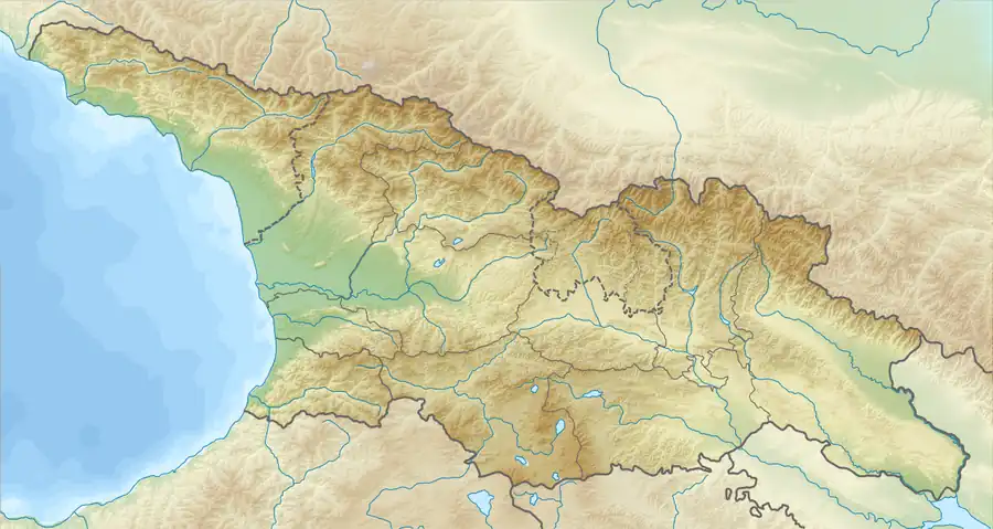
Lechkhumi Range (Georgian: ლეჩხუმის ქედი) is a mountain range in Georgia, a southern part of the Caucasus mountains. The Lechkhumi range serves as a watershed, separating the Tskhenistsqali and Rioni river valleys.[1]
| Lechkhumi Range | |
|---|---|
.jpg.webp) | |
| Highest point | |
| Peak | Samertskhle |
| Elevation | 3,584 m (11,759 ft) |
| Dimensions | |
| Length | 66 km (41 mi) |
| Width | 25 km (16 mi) |
| Geography | |
 | |
| Country | Georgia |
| Range coordinates | 42°42′54″N 43°10′58″E |
| Parent range | Caucasus Mountains |
| Borders on | Greater Caucasus |
The length of the ridge is 66 km and width is about 25 km.[1] Its maximum height is 3584 metres (the peak of mountain Samertskhle).
Lechkhumi Range has a glacial landform, including U-shaped valley and Cirque.[2] It is mainly composed of lower and middle Jurassic slates, sandstones and limestones.[3] Lechkhumi Range encompasses 4 glaciers,[3] which covered 2 km2.[1] It is mostly covered by oak, hornbeam, beech, spruce and fir. The highest part has alpine and subalpine landscapes.[2]
References
- Ramin Gobejishvili. Relief of Georgia (in georgian), Publishing house “Universali”. 2011, pp. 85–88
- Levan Maruashvili. Physical Geography of Georgia (in georgian), Tbilisi, 1964., pp. 156–157
- Levan Maruashvili. Geomorphology of Georgia (in russian), “Metsniereba”, Tbilisi. 1971. pp. 197–201
This article is issued from Wikipedia. The text is licensed under Creative Commons - Attribution - Sharealike. Additional terms may apply for the media files.