Lindsay, Montana
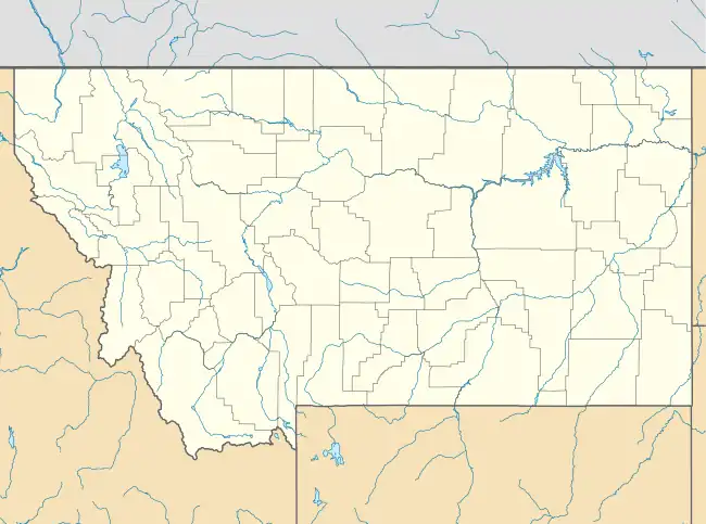
Lindsay is an unincorporated hamlet in Dawson County, Montana, United States, located on Montana Highway 200S and the Upper Sevenmile Creek, 22.3 miles (35.9 km) west-northwest of Glendive. The community has a post office with ZIP code 59339,[3][4] a public school, and a cooperative.
Lindsay, Montana | |
|---|---|
 Lindsay  Lindsay | |
| Coordinates: 47°13′08″N 105°09′14″W | |
| Country | United States |
| State | Montana |
| County | Dawson |
| Area | |
| • Total | 0.65 sq mi (1.68 km2) |
| • Land | 0.65 sq mi (1.68 km2) |
| • Water | 0.00 sq mi (0.00 km2) |
| Elevation | 2,680 ft (820 m) |
| Population (2020) | |
| • Total | 12 |
| • Density | 18.52/sq mi (7.15/km2) |
| Time zone | UTC-7 (Mountain (MST)) |
| • Summer (DST) | UTC-6 (MDT) |
| ZIP code | 59339 |
| Area code | 406 |
| GNIS feature ID | 773370[2] |
The town is named for Willam Lindsay, an Ohio-born businessman and the first rancher and freighter in the region.[5] In the 1920s, the town moved from its original site when the Northern Pacific Railway built its branch line to Circle.
References
- "ArcGIS REST Services Directory". United States Census Bureau. Retrieved September 5, 2022.
- "Lindsay". Geographic Names Information System. United States Geological Survey, United States Department of the Interior.
- United States Postal Service (2012). "USPS - Look Up a ZIP Code". Retrieved February 15, 2012.
- "Postmaster Finder - Post Offices by ZIP Code". United States Postal Service. Retrieved July 8, 2014.
- "Lindsay". Montana Place Names Companion. Montana Historical Society. Retrieved April 5, 2021.
- "Census of Population and Housing". Census.gov. Retrieved June 4, 2016.
Municipalities and communities of Dawson County, Montana, United States | ||
|---|---|---|
| City | 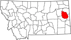 Dawson County map | |
| Town | ||
| CDPs | ||
This article is issued from Wikipedia. The text is licensed under Creative Commons - Attribution - Sharealike. Additional terms may apply for the media files.