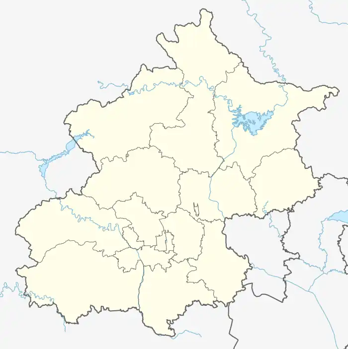
Liucun, Beijing
Liucun Town (simplified Chinese: 流村镇; traditional Chinese: 流村鎮; pinyin: Liúcūn Zhèn) is a town in Changping District, Beijing, China.[1] Located in the eastern foothill of the Taihang Mountain Range, Liucun shares border with Nankou Town to its northeast, Yangfang and Machikou Town to its east, Sujiatuo and Miaofengshan Towns to its southeast, Yanchi Town to its southwest, and Ruiyunguan Township to its northwest. As of 2020, it had 18,139 residents under its administration.[2]
Liucun Town
流村镇 | |
|---|---|
.jpg.webp) Villagers in Changyucheng Village walking to a Chinese opera performance, 2010 | |
.png.webp) Location within Changping District | |
 Liucun Town  Liucun Town | |
| Coordinates: 40°10′53″N 116°03′29″E | |
| Country | China |
| Municipality | Beijing |
| District | Changping |
| Village-level Divisions | 28 villages |
| Area | |
| • Total | 270.3 km2 (104.4 sq mi) |
| Elevation | 148 m (486 ft) |
| Population (2020) | |
| • Total | 18,139 |
| • Density | 67/km2 (170/sq mi) |
| Time zone | UTC+8 (China Standard) |
| Postal code | 102204 |
| Area code | 010 |
History
| Year | Status | Under |
|---|---|---|
| 1948 - 1956 | Liu Village | Changwan County, Hebei |
| 1956 - 1961 | 3rd District
6th District |
Changping County, Beijing |
| 1961 - 1983 | Liucun People's Commune | |
| 1983 - 1997 | Liucun Township | |
| 1997 - 1999 | Liucun Town | |
| 1999 - present | Changping District |
Administrative divisions
In 2021, 28 villages constituted Liucun Town. They are listed below:[4]
| Administrative Division Code | Subdisvision Names | Name Transliteration |
|---|---|---|
| 110114118201 | 北庄村 | Beizhuangcun |
| 110114118202 | 下店 | Xiadian |
| 110114118203 | 上店 | Shangdian |
| 110114118204 | 南流 | Nanliu |
| 110114118205 | 西峰山 | Xifengshan |
| 110114118206 | 北流 | Beiliu |
| 110114118207 | 新建 | Xinjian |
| 110114118208 | 白羊城 | Baiyangcheng |
| 110114118209 | 古将 | Gujiang |
| 110114118210 | 黑寨 | Heisai |
| 110114118211 | 王家园 | Wangjiayuan |
| 110114118212 | 高崖口 | Gaoyakou |
| 110114118213 | 韩台 | Hantai |
| 110114118214 | 北照台 | Beizhaotai |
| 110114118215 | 狼儿峪 | Lang'eryu |
| 110114118216 | 菩萨鹿 | Pusalu |
| 110114118217 | 发电站 | Fadianzhan |
| 110114118218 | 漆园 | Qiyuan |
| 110114118219 | 瓦窑 | Wayao |
| 110114118220 | 新开 | Xinkai |
| 110114118221 | 溜石港 | Liushigang |
| 110114118222 | 小水峪 | Xiaoshuiyu |
| 110114118223 | 王峪 | Wangyu |
| 110114118224 | 老峪沟 | Laoyugou |
| 110114118225 | 马刨泉 | Mapaoquan |
| 110114118226 | 黄土洼 | Huangtuwa |
| 110114118227 | 禾子涧 | Hezijian |
| 110114118228 | 长峪城 | Changyucheng |
Gallery
 Aerial view of Mapaoquan Village, 2014
 Wangjiayuan Reservoir, 2019
References
- 2020年统计用区划代码和城乡划分代码:昌平区 (in Chinese). National Bureau of Statistics of the People's Republic of China. Retrieved 23 November 2020.
- "北京市昌平区第七次全国人口普查公报". bj.bjd.com.cn (in Chinese (China)). Retrieved 2022-10-18.
- Zhong hua ren min gong he guo zheng qu da dian. Bei jing shi juan. Li li guo, Li wan jun, Wu shi min, 李立国., 李万钧., 吴世民. Bei jing: Zhong guo she hui chu ban she. 2013. ISBN 978-7-5087-4058-4. OCLC 910451741.
{{cite book}}: CS1 maint: others (link) - "2021年统计用区划代码和城乡划分代码". www.stats.gov.cn. Retrieved 2022-10-20.
This article is issued from Wikipedia. The text is licensed under Creative Commons - Attribution - Sharealike. Additional terms may apply for the media files.