Lone Star, Fresno County, California
Lone Star | |
|---|---|
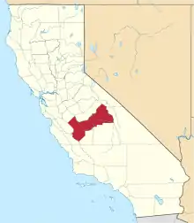
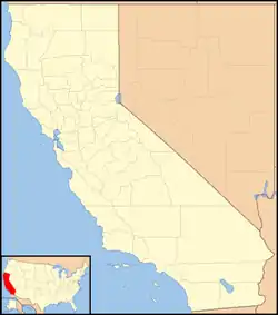 Lone Star Location in California  Lone Star Lone Star (the United States) | |
| Coordinates: 36°42′02″N 119°40′52″W | |
| Country | United States |
| State | California |
| County | Fresno County |
| Elevation | 318 ft (97 m) |
Lone Star (formerly, Lonestar) is an unincorporated community in Fresno County, California.[1] It is located on the Atchison, Topeka and Santa Fe Railroad 3.25 miles (5 km) east-northeast of Malaga,[2] at an elevation of 318 feet (97 m).[1]
The Lonestar post office operated from 1891 to 1895 and from 1900 to 1910.[2] The place was named by the first settlers after their former home state, Texas (the Lone Star State).[2]
References
- U.S. Geological Survey Geographic Names Information System: Lone Star, Fresno County, California
- Durham, David L. (1998). California's Geographic Names: A Gazetteer of Historic and Modern Names of the State. Clovis, Calif.: Word Dancer Press. p. 1065. ISBN 1-884995-14-4.
This article is issued from Wikipedia. The text is licensed under Creative Commons - Attribution - Sharealike. Additional terms may apply for the media files.