Manturovo, Kostroma Oblast
Manturovo (Russian: Ма́нтурово) is a town in Kostroma Oblast, Russia, located on the right bank of the Unzha River (Volga's tributary), 260 kilometers (160 mi) northeast of Kostroma, the administrative center of the oblast. Population: 13,043 (2021 Census);[7] 17,479 (2010 Census);[2] 19,457 (2002 Census);[8] 22,452 (1989 Census);[9] 22,000 (1970).
Manturovo
Мантурово | |
|---|---|
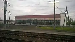
 Manturovo Station | |
.png.webp) Flag _coat_fof_arms.png.webp) Coat of arms | |
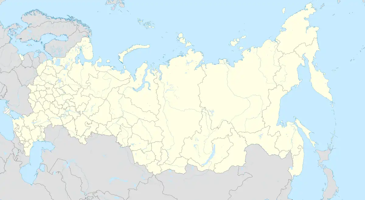
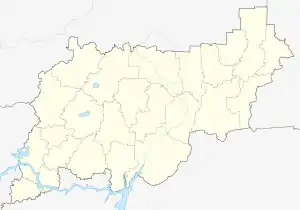
Location of Manturovo | |
 Manturovo Location of Manturovo  Manturovo Manturovo (Kostroma Oblast) | |
| Coordinates: 58°20′N 44°46′E | |
| Country | Russia |
| Federal subject | Kostroma Oblast[1] |
| First mentioned | 1617 |
| Town status since | 1958 |
| Elevation | 120 m (390 ft) |
| Population | |
| • Total | 17,479 |
| • Estimate (2018)[3] | 15,452 (−11.6%) |
| • Subordinated to | town of oblast significance of Manturovo[1] |
| • Capital of | Manturovsky District,[1] town of oblast significance of Manturovo[1] |
| • Urban okrug | Manturovo Urban Okrug[4] |
| • Capital of | Manturovo Urban Okrug,[4] Manturovsky Municipal District[4] |
| Time zone | UTC+3 (MSK |
| Postal code(s)[6] | 157300 |
| OKTMO ID | 34714000001 |
| Website | manturovo |
History
An ancient Finno-Ugric Meri trading settlement and a wooden hill fortress once existed on the site of modern Manturovo, at the confluence of the Unzha and Mezha Rivers. The name means Mantu = Podzol, Rova = higher place in sparsely coniferous forest. According to its name it have had a Saame or Nenents roots. Finno-Ugrian Rova derives from Saame (Sami) word Roavve which means hill or open place as result of forest fire. Thus the place was inhabited at least c. 2000 BCE. It became a Meri settlement by c. 300 CE and remained such until at least the 14th century.
The Russian village of Manturovo was first mentioned in 1617. Later on, it grew into a town and was granted town status in 1958.
Administrative and municipal status
Within the framework of administrative divisions, Manturovo serves as the administrative center of Manturovsky District,[1] even though it is not a part of it.[10] As an administrative division, it is incorporated separately as the town of oblast significance of Manturovo—an administrative unit with a status equal to that of the districts.[1] As a municipal division, the town of oblast significance of Manturovo is incorporated as Manturovo Urban Okrug.[4]
Economy and transportation
Manturovo was connected by St. Petersburg–Vyatka Railway to Vyatka and Perm in 1908. Since then it has developed from quiet country village railway station to a forest industry center including a big plywood factory. A Finnish forest company has plans to open a big modern forest industry center to Manturovo, nearly a billion euro investment, if Russian government guarantee its legal ownership according to the WTO standards.
References
Notes
- Law #112-4-ZKO
- Russian Federal State Statistics Service (2011). Всероссийская перепись населения 2010 года. Том 1 [2010 All-Russian Population Census, vol. 1]. Всероссийская перепись населения 2010 года [2010 All-Russia Population Census] (in Russian). Federal State Statistics Service.
- "26. Численность постоянного населения Российской Федерации по муниципальным образованиям на 1 января 2018 года". Federal State Statistics Service. Retrieved January 23, 2019.
- Law #237-ZKO
- "Об исчислении времени". Официальный интернет-портал правовой информации (in Russian). June 3, 2011. Retrieved January 19, 2019.
- Почта России. Информационно-вычислительный центр ОАСУ РПО. (Russian Post). Поиск объектов почтовой связи (Postal Objects Search) (in Russian)
- Russian Federal State Statistics Service. Всероссийская перепись населения 2020 года. Том 1 [2020 All-Russian Population Census, vol. 1] (XLS) (in Russian). Federal State Statistics Service.
- Russian Federal State Statistics Service (May 21, 2004). Численность населения России, субъектов Российской Федерации в составе федеральных округов, районов, городских поселений, сельских населённых пунктов – районных центров и сельских населённых пунктов с населением 3 тысячи и более человек [Population of Russia, Its Federal Districts, Federal Subjects, Districts, Urban Localities, Rural Localities—Administrative Centers, and Rural Localities with Population of Over 3,000] (XLS). Всероссийская перепись населения 2002 года [All-Russia Population Census of 2002] (in Russian).
- Всесоюзная перепись населения 1989 г. Численность наличного населения союзных и автономных республик, автономных областей и округов, краёв, областей, районов, городских поселений и сёл-райцентров [All Union Population Census of 1989: Present Population of Union and Autonomous Republics, Autonomous Oblasts and Okrugs, Krais, Oblasts, Districts, Urban Settlements, and Villages Serving as District Administrative Centers]. Всесоюзная перепись населения 1989 года [All-Union Population Census of 1989] (in Russian). Институт демографии Национального исследовательского университета: Высшая школа экономики [Institute of Demography at the National Research University: Higher School of Economics]. 1989 – via Demoscope Weekly.
- Resolution #133-a
Sources
- Костромская областная Дума. Закон №112-4-ЗКО от 9 февраля 2007 г. «Об административно-территориальном устройстве Костромской области», в ред. Закона №567-5-ЗКО от 24 сентября 2014 г. «О внесении изменений в Закон Костромской области "Об административно-территориальном устройстве Костромской области"». Вступил в силу со дня официального опубликования. Опубликован: "СП — нормативные документы", №10(70), 28 февраля 2007 г. (Kostroma Oblast Duma. Law #112-4-ZKO of February 9, 2007 On the Administrative-Territorial Structure of Kostroma Oblast, as amended by the Law #567-5-ZKO of September 24, 2014 On Amending the Law of Kostroma Oblast "On the Administrative-Territorial Structure of Kostroma Oblast". Effective as of the official publication date.).
- Администрация Костромской области. Постановление №133-а от 8 апреля 2014 г. «Об утверждении реестра населённых пунктов Костромской области». Вступил в силу 11 апреля 2014 г. Опубликован: "СП — нормативные документы", №15, 11 апреля 2014 г. (Administration of Kostroma Oblast. Resolution #133-a of April 8, 2014 On the Adoption of the Registry of the Inhabited Localities of Kostroma Oblast. Effective as of April 11, 2014.).
- Костромская областная Дума. Закон №237-ЗКО от 30 декабря 2004 г. «Об установлении границ муниципальных образований в Костромской области и наделении их статусом», в ред. Закона №496-5-ЗКО от 28 февраля 2014 г. «О внесении изменений в Закон Костромской области "Об установлении границ муниципальных образований в Костромской области и наделении их статусом"». Вступил в силу по истечении 10 дней со дня официального опубликования. Опубликован: "Северная Правда" ("Документы: СпецВыпуск"), №8, 26 января 2005 г. (Kostroma Oblast Duma. Law #237-ZKO of December 30, 2004 On the Establishment of the Borders of the Municipal Formations and on Granting Them Statuses, as amended by the Law #496-5-ZKO of February 28, 2014 On Amending the Law of Kostroma Oblast "On the Establishment of the Borders of the Municipal Formations and on Granting Them Statuses". Effective as of after 10 days following the official publication date.).