Marie Island
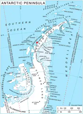
Marie Island is an island 4 km (2 nmi) long, which lies immediately north of Cape Evensen on the northwest coast of Stresher Peninsula in Graham Land, Antarctica. The name "Pointe Marie," after the elder sister of Dr. Jean-Baptiste Charcot, was applied by the Third French Antarctic Expedition (1903–05) to a point on the coast close north of Cape Evensen. After the Fourth French Antarctic Expedition (1908–10) Charcot re-applied the name to the southern tip of an island, "Ile Waldeck-Rousseau," in approximately the same latitude. Correlating its survey with those of Charcot, the British Graham Land Expedition (1934–37) identified "Ile Waldeck-Rousseau" as Waldeck-Rousseau Peak on the mainland. The most prominent feature near the peak requiring a name is this island, and the name "Marie Island" preserves Charcot's naming in the locality.[1]
 Location of Stresher Peninsula on Graham Land, Antarctic Peninsula | |
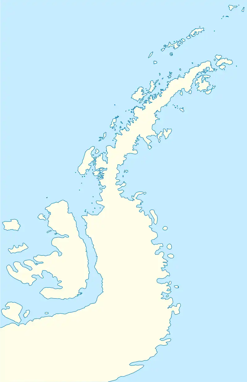
 Marie Island Location in Antarctica  Marie Island Marie Island (Antarctic Peninsula) | |
| Geography | |
|---|---|
| Location | Antarctica |
| Coordinates | 66°7′S 65°45′W |
| Administration | |
| Administered under the Antarctic Treaty System | |
| Demographics | |
| Population | Uninhabited |
References
- "Marie Island". Geographic Names Information System. United States Geological Survey, United States Department of the Interior. Retrieved 6 August 2013.
![]() This article incorporates public domain material from "Marie Island". Geographic Names Information System. United States Geological Survey.
This article incorporates public domain material from "Marie Island". Geographic Names Information System. United States Geological Survey.