Mariyammanahalli
Mariyammanahalli (previously known as Sri Narayanadevarakere) is a town in the southern state of Karnataka, India. It is located in Vijayanagar (Hospet) Taluk, in the Vijayanagar district of Karnataka, south of Danapuram and east of Ankasamudra
Mariyammanahalli
Narayanadevarakere | |
|---|---|
town | |
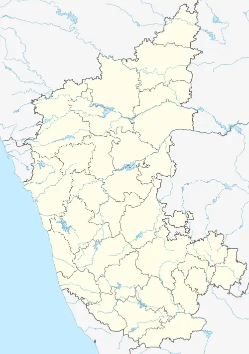 Mariyammanahalli Location in Karnataka, India | |
| Coordinates: 15.16°N 76.36°E | |
| Country | |
| State | Karnataka |
| District | Vijayanagara |
| Talukas | Hospet |
| Elevation | 523 m (1,716 ft) |
| Population (2001) | |
| • Total | 12,195 |
| • Density | 25,000/km2 (60,000/sq mi) |
| Languages | |
| • Official | Kannada |
| Time zone | UTC+5:30 (IST) |
| PIN | 583222 |
| Telephone code | 08394 |
| ISO 3166 code | IN-KA |
| Vehicle registration | KA 35 |
| Nearest city | Hospet |
| Lok Sabha constituency | bellary |
| Vidhan Sabha constituency | Hagaribommanahalli |
| Climate | hot (Köppen) |
| Website | [http://' '] |
Demographics
In 2011, there were 3,243 families in the village, with a total population of 15,940, of which 7,944 were males, and 7,996 were females.
The native language of Mariyammanahalli is Kannada, but English is also spoken in the town.
See also
References
This article is issued from Wikipedia. The text is licensed under Creative Commons - Attribution - Sharealike. Additional terms may apply for the media files.