Markgrafneusiedl
Markgrafneusiedl is a town in the district of Gänserndorf in the Austrian state of Lower Austria.
Markgrafneusiedl | |
|---|---|
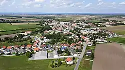 Aerial view of Markgrafneusiedl | |
 Coat of arms | |
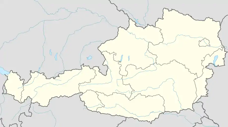 Markgrafneusiedl Location within Austria | |
| Coordinates: 48°16′N 16°37′E | |
| Country | Austria |
| State | Lower Austria |
| District | Gänserndorf |
| Government | |
| • Mayor | Erwin Hrabal |
| Area | |
| • Total | 19.82 km2 (7.65 sq mi) |
| Elevation | 154 m (505 ft) |
| Population (2018-01-01)[2] | |
| • Total | 832 |
| • Density | 42/km2 (110/sq mi) |
| Time zone | UTC+1 (CET) |
| • Summer (DST) | UTC+2 (CEST) |
| Postal code | 2282 |
| Area code | 02248 |
During the battle of Wagram the town formed the left flank of the Austrian position, and it fell to the French after heavy fighting between IV Austrian Corps and the French III Corps.
Geography
Markgrafneusiedl lies east of Vienna and southeast of Deutsch-Wagram in the Marchfeld, which is part of the Weinviertels. About 8.07 percent of the municipality is forested.
References
- "Dauersiedlungsraum der Gemeinden Politischen Bezirke und Bundesländer - Gebietsstand 1.1.2018". Statistics Austria. Retrieved 10 March 2019.
- "Einwohnerzahl 1.1.2018 nach Gemeinden mit Status, Gebietsstand 1.1.2018". Statistics Austria. Retrieved 9 March 2019.
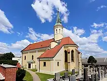
Parish church
This article is issued from Wikipedia. The text is licensed under Creative Commons - Attribution - Sharealike. Additional terms may apply for the media files.