Mattawamkeag (CDP), Maine
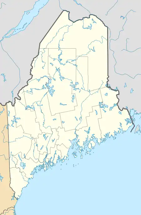
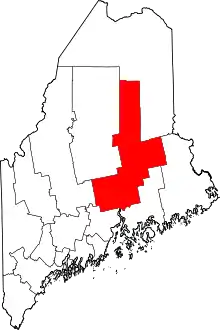
Mattawamkeag is a census-designated place (CDP) and the primary village in the town of Mattawamkeag, Penobscot County, Maine, United States. It is in the southwestern corner of the town, where the Mattawamkeag River joins the Penobscot. The community is bordered to the south by the town of Winn and to the west, across the Penobscot, by the town of Woodville.
Mattawamkeag, Maine | |
|---|---|
 Mattawamkeag  Mattawamkeag | |
| Coordinates: 45°31′1″N 68°21′14″W | |
| Country | |
| State | Maine |
| County | Penobscot |
| Town | Mattawamkeag |
| Area | |
| • Total | 2.91 sq mi (7.53 km2) |
| • Land | 2.84 sq mi (7.35 km2) |
| • Water | 0.07 sq mi (0.18 km2) |
| Elevation | 208 ft (63 m) |
| Population (2020) | |
| • Total | 422 |
| • Density | 148.70/sq mi (57.41/km2) |
| Time zone | UTC-5 (Eastern (EST)) |
| • Summer (DST) | UTC-4 (EDT) |
| ZIP Code | 04459 |
| Area code | 207 |
| FIPS code | 23-44235 |
| GNIS feature ID | 2806286[2] |
U.S. Route 2 passes through Mattawamkeag, leading southwest 60 miles (97 km) to Bangor and northeast 65 miles (105 km) to Houlton. Maine State Route 157 leads northwest from Mattawamkeag 14 miles (23 km) to East Millinocket.
Mattawamkeag was first listed as a CDP prior to the 2020 census.[2]
References
- "2020 U.S. Gazetteer Files". United States Census Bureau. Retrieved April 8, 2022.
- "Mattawamkeag Census Designated Place". Geographic Names Information System. United States Geological Survey, United States Department of the Interior.
- "Census of Population and Housing". Census.gov. Retrieved June 4, 2016.
This article is issued from Wikipedia. The text is licensed under Creative Commons - Attribution - Sharealike. Additional terms may apply for the media files.