Maysville, Arkansas
Maysville is an unincorporated community and census-designated place (CDP) in Benton County, Arkansas, United States. It is the westernmost settlement in the state of Arkansas.[3] Per the 2020 census, the population was 117.[4] It is located in the Northwest Arkansas region.
Maysville, Arkansas | |
|---|---|
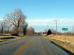 Maysville southern limits, February 2013 | |
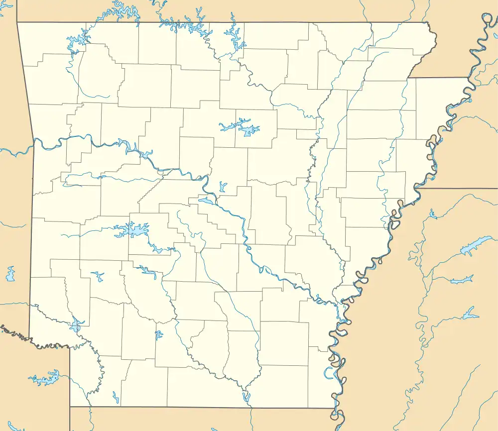
 Location of Maysville in Benton County, Arkansas. | |
 Maysville, Arkansas | |
| Coordinates: 36°24′13″N 94°36′07″W | |
| Country | United States |
| State | Arkansas |
| County | Benton |
| Area | |
| • Total | 2.35 sq mi (6.10 km2) |
| • Land | 2.35 sq mi (6.10 km2) |
| • Water | 0.00 sq mi (0.00 km2) |
| Elevation | 1,043 ft (318 m) |
| Population (2020) | |
| • Total | 117 |
| • Density | 49.70/sq mi (19.19/km2) |
| Time zone | UTC-6 (Central (CST)) |
| • Summer (DST) | UTC-5 (CDT) |
| Area code | 479 |
| GNIS feature ID | 77622[2] |
History
A post office has been in operation at Maysville since 1850.[5] Maysville once rivaled Bentonville in size, according to local history.[6]
Maysville is the location of (or is the nearest community to) Coats School, which is located on Spavinaw Creek Rd. and Sellers Farm, which is located on Old Hwy. on State Line. Both are listed on the National Register of Historic Places.[7]
Demographics
| Census | Pop. | Note | %± |
|---|---|---|---|
| 2010 | 130 | — | |
| 2020 | 117 | −10.0% | |
| U.S. Decennial Census[8] 2010[9] 2020[10] | |||
2020 census
| Race / Ethnicity | Pop 2010[9] | Pop 2020[10] | % 2010 | % 2020 |
|---|---|---|---|---|
| White alone (NH) | 107 | 91 | 82.31% | 77.78% |
| Black or African American alone (NH) | 0 | 0 | 0.00% | 0.00% |
| Native American or Alaska Native alone (NH) | 7 | 2 | 5.38% | 1.71% |
| Asian alone (NH) | 2 | 2 | 1.54% | 1.71% |
| Pacific Islander alone (NH) | 0 | 0 | 0.00% | 0.00% |
| Some Other Race alone (NH) | 0 | 0 | 0.00% | 0.00% |
| Mixed Race/Multi-Racial (NH) | 12 | 12 | 9.23% | 10.26% |
| Hispanic or Latino (any race) | 2 | 10 | 1.54% | 8.55% |
| Total | 130 | 117 | 100.00% | 100.00% |
Education
It is in the Gravette School District,[11] which operates Gravette High School.
References
- "2020 U.S. Gazetteer Files". United States Census Bureau. Retrieved October 29, 2021.
- U.S. Geological Survey Geographic Names Information System: Maysville, Arkansas
- "EXTREME SETTLEMENTS: A COMPREHENSIVE LIST". Weekend Roady. May 2, 2013. Retrieved August 20, 2014.
- "Maysville CDP, Arkansas". United States Census Bureau. Retrieved April 15, 2022.
- "Post Offices". Jim Forte Postal History. Retrieved February 1, 2018.
- History of Benton, Washington, Carroll, Madison, Crawford, Franklin, and Sebastian Counties, Arkansas. Higginson Book Company. 1889. p. 111.
- "National Register Information System". National Register of Historic Places. National Park Service. March 13, 2009.
- "Decennial Census of Population and Housing by Decades". US Census Bureau.
- "P2 HISPANIC OR LATINO, AND NOT HISPANIC OR LATINO BY RACE – 2010: DEC Redistricting Data (PL 94-171) – Maysville CDP, Arkansas". United States Census Bureau.
- "P2 HISPANIC OR LATINO, AND NOT HISPANIC OR LATINO BY RACE – 2020: DEC Redistricting Data (PL 94-171) – Maysville CDP, Arkansas". United States Census Bureau.
- "2020 CENSUS - SCHOOL DISTRICT REFERENCE MAP: Benton County, AR" (PDF). U.S. Census Bureau. Retrieved May 25, 2022.
Municipalities and communities of Benton County, Arkansas, United States | ||
|---|---|---|
| Cities | 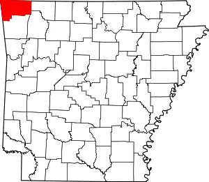 Map of Arkansas highlighting Benton County | |
| Towns | ||
| Townships | ||
| CDPs | ||
| Other communities | ||
| Ghost towns | ||
| Footnotes | ‡This populated place also has portions in an adjacent county or counties Bethel Heights, a former municipality, is now a part of Springdale | |
This article is issued from Wikipedia. The text is licensed under Creative Commons - Attribution - Sharealike. Additional terms may apply for the media files.