Mbaupungwa
Mbaupungwa is a village in the Peren district of Nagaland, India. It is located in the Tening Circle.[1] Nagaland's chief minister T. R. Zeliang was born here.
Mbaupungwa | |
|---|---|
village | |
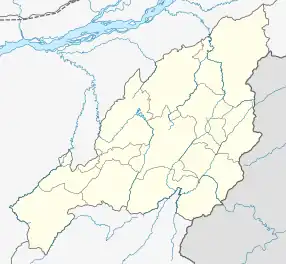 Mbaupungwa Location in Nagaland, India  Mbaupungwa Mbaupungwa (India) | |
| Coordinates: 25.366159°N 93.644911°E | |
| Country | India |
| State | Nagaland |
| District | Peren |
| Circle | Tening |
| Population (2011) | |
| • Total | 811 |
| Time zone | UTC+5:30 (IST) |
| Census code | 268379 |
Demographics
According to the 2011 census of India, Mbaupungwa has 156 households. The effective literacy rate (i.e. the literacy rate of population excluding children aged 6 and below) is 81.76%.[2]
| Total | Male | Female | |
|---|---|---|---|
| Population | 811 | 445 | 366 |
| Children aged below 6 years | 142 | 78 | 64 |
| Scheduled caste | 0 | 0 | 0 |
| Scheduled tribe | 807 | 442 | 365 |
| Literates | 547 | 318 | 229 |
| Workers (all) | 412 | 224 | 188 |
| Main workers (total) | 342 | 182 | 160 |
| Main workers: Cultivators | 237 | 112 | 125 |
| Main workers: Agricultural labourers | 0 | 0 | 0 |
| Main workers: Household industry workers | 0 | 0 | 0 |
| Main workers: Other | 105 | 70 | 35 |
| Marginal workers (total) | 70 | 42 | 28 |
| Marginal workers: Cultivators | 19 | 17 | 2 |
| Marginal workers: Agricultural labourers | 0 | 0 | 0 |
| Marginal workers: Household industry workers | 0 | 0 | 0 |
| Marginal workers: Others | 51 | 25 | 26 |
| Non-workers | 399 | 221 | 178 |
References
- "Nagaland revenue village directory" (PDF). Archived from the original (PDF) on 4 March 2016. Retrieved 22 July 2015.
- "District Census Handbook - Peren" (PDF). 2011 Census of India. Directorate of Census Operations, Nagaland. Retrieved 22 July 2015.
This article is issued from Wikipedia. The text is licensed under Creative Commons - Attribution - Sharealike. Additional terms may apply for the media files.