McKinney, Kentucky
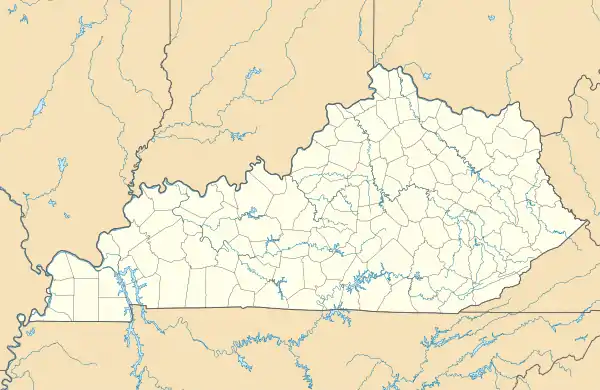
McKinney is a census-designated place in Lincoln County in south-central Kentucky. McKinney is located along Kentucky Route 198 and the Norfolk Southern Railway, 8.6 miles (13.8 km) southwest of Stanford.[3] McKinney has a post office with ZIP code 40448.[4][5] Its population was estimated to be 135 between 2014 and 2018.[6]
McKinney, Kentucky | |
|---|---|
 McKinney  McKinney | |
| Coordinates: 37°27′11″N 84°45′28″W | |
| Country | United States |
| State | Kentucky |
| County | Lincoln |
| Area | |
| • Total | 0.42 sq mi (1.10 km2) |
| • Land | 0.42 sq mi (1.09 km2) |
| • Water | 0.00 sq mi (0.01 km2) |
| Elevation | 1,030 ft (310 m) |
| Population (2020) | |
| • Total | 201 |
| • Density | 476.30/sq mi (183.95/km2) |
| Time zone | UTC-5 (Eastern (EST)) |
| • Summer (DST) | UTC-4 (EDT) |
| ZIP code | 40448 |
| Area code | 606 |
| GNIS feature ID | 2629653[2] |
Notable people
- William B. Baugh, awarded a Medal of Honor for his actions in the Korean War
- Harry Camnitz, professional baseball player.
- Joseph K. Carson, Jr., 40th mayor of Portland, Oregon
References
- "2020 U.S. Gazetteer Files". United States Census Bureau. Retrieved March 18, 2022.
- U.S. Geological Survey Geographic Names Information System: McKinney, Kentucky
- State Primary Road System: Lincoln County (PDF) (Map). Kentucky Transportation Cabinet. 2012. Retrieved January 6, 2013.
- United States Postal Service (2012). "USPS - Look Up a ZIP Code". Retrieved February 15, 2012.
- "Postmaster Finder - Post Offices by ZIP Code". United States Postal Service. Retrieved January 6, 2013.
- "ACS Demographic and Housing Estimates: 2018 5-Year Data (DP05): McKinney CDP, Kentucky". data.census.gov. U.S. Census Bureau. Retrieved February 13, 2020.
- "Census of Population and Housing". Census.gov. Retrieved June 4, 2016.
Municipalities and communities of Lincoln County, Kentucky, United States | ||
|---|---|---|
| Cities | 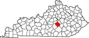 Location of Lincoln County, Kentucky | |
| CDP | ||
| Unincorporated communities | ||
| Footnotes | ‡This populated place also has portions in an adjacent county | |
This article is issued from Wikipedia. The text is licensed under Creative Commons - Attribution - Sharealike. Additional terms may apply for the media files.