Mechanicsville, Connecticut
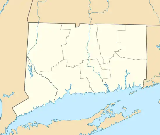
Mechanicsville is an unincorporated community and census-designated place (CDP) in the southern part of the town of Thompson in Windham County, Connecticut, United States. It is bordered to the north by North Grosvenordale and to the south by Putnam. Connecticut Route 12 (Riverside Drive) runs the length of the community, along the east side of the French River.
Mechanicsville, Connecticut | |
|---|---|
 Mechanicsville  Mechanicsville | |
| Coordinates: 41°56′28″N 71°53′37″W | |
| Country | |
| State | Connecticut |
| County | Windham |
| Town | Thompson |
| Area | |
| • Total | 2.16 km2 (0.83 sq mi) |
| • Land | 2.16 km2 (0.83 sq mi) |
| • Water | 0.0 km2 (0.0 sq mi) |
| Elevation | 90 m (310 ft) |
| Time zone | UTC-5 (Eastern (EST)) |
| • Summer (DST) | UTC-4 (EDT) |
| ZIP Codes | |
| Area code(s) | 860/959 |
| FIPS code | 09-46240 |
| GNIS feature ID | 2805993[2] |
Mechanicsville was first listed as a CDP prior to the 2020 census.[2]
A portion of the Air Line State Park Trail passes through Mechanicsville, along with the Providence and Worcester Railroad.
References
- "2020 U.S. Gazetteer Files – Connecticut". United States Census Bureau. Retrieved April 16, 2021.
- "Mechanicsville Census Designated Place". Geographic Names Information System. United States Geological Survey, United States Department of the Interior.
Municipalities and communities of Windham County, Connecticut, United States | ||
|---|---|---|
| Towns | 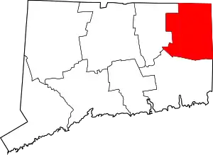 | |
| Borough | ||
| Former cities | ||
| CDPs | ||
| Other communities | ||
This article is issued from Wikipedia. The text is licensed under Creative Commons - Attribution - Sharealike. Additional terms may apply for the media files.