Medill, Missouri
Medill is an unincorporated community and census-designated place in Clark County, in the U.S. state of Missouri.[1] As of the 2020 census, its population was 82.[3]
Medill, Missouri | |
|---|---|
| Coordinates: 40°25′48″N 91°46′27″W[1] | |
| Country | United States |
| State | Missouri |
| County | Clark |
| Area | |
| • Total | 0.78 sq mi (2.03 km2) |
| • Land | 0.78 sq mi (2.02 km2) |
| • Water | 0.01 sq mi (0.01 km2) |
| Elevation | 709 ft (216 m) |
| Population (2020) | |
| • Total | 82 |
| • Density | 105.40/sq mi (40.67/km2) |
| FIPS code | 29-47144 |
| GNIS feature ID | 2806391[1] |
Location
The community s on US Route 136 three miles west of Kahoka.[4] The Atchison, Topeka and Santa Fe Railroad passes through the community as did the Chicago, Burlington and Quincy Railroad.[5]
History
Medill was laid out in 1888 when the railroad was extended to that point.[6] A post office was established at Medill in 1889, and remained in operation until 1975.[7]
References
- U.S. Geological Survey Geographic Names Information System: Medill, Missouri
- "ArcGIS REST Services Directory". United States Census Bureau. Retrieved September 5, 2022.
- "2020: DEC Redistricting Data (PL 94-171)". United States Census Bureau. Retrieved November 17, 2021.
- Missouri Atlas & Gazetteer, DeLorme, First edition, 1998, p. 16 ISBN 0899332242
- Medill, MO, 7.5 Minute Topographic Quadrngle, USGS, 1951
- "Clark County Place Names, 1928–1945 (archived)". The State Historical Society of Missouri. Archived from the original on June 24, 2016. Retrieved September 18, 2016.
{{cite web}}: CS1 maint: bot: original URL status unknown (link) - "Post Offices". Jim Forte Postal History. Retrieved September 18, 2016.
- "Census of Population and Housing". Census.gov. Retrieved June 4, 2016.
Municipalities and communities of Clark County, Missouri, United States | ||
|---|---|---|
| Cities | 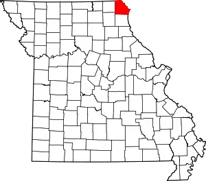 Map of Missouri highlighting Clark County | |
| Villages | ||
| Townships | ||
| CDPs | ||
| Other communities | ||
This article is issued from Wikipedia. The text is licensed under Creative Commons - Attribution - Sharealike. Additional terms may apply for the media files.