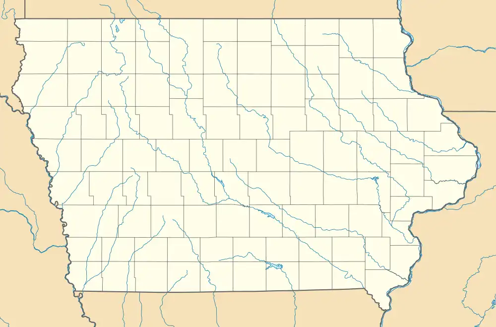
Meyer, Iowa
Meyer is an unincorporated community and census-designated place in Stacyville Township, Mitchell County, in the state of Iowa, United States. As of the 2020 census the population was 14,[2] down from 31 in 2010.[3]
Meyer, Iowa | |
|---|---|
 Meyer  Meyer | |
| Coordinates: 43°27′27″N 92°41′33″W | |
| Country | United States |
| State | Iowa |
| County | Mitchell |
| Township | Stacyville |
| Area | |
| • Total | 0.71 sq mi (1.83 km2) |
| • Land | 0.71 sq mi (1.83 km2) |
| • Water | 0.00 sq mi (0.00 km2) |
| Population | |
| • Total | 14 |
| • Density | 19.77/sq mi (7.64/km2) |
| Time zone | Central (CST) |
| ZIP code | 50455 (McIntire) |
| FIPS code | 19-51510 |
Geography
Meyer is in northeastern Mitchell County, approximately 5 miles (8 km) northeast of Stacyville and 6 miles (10 km) northwest of McIntire, the post office serving Meyer. Osage, the Mitchell county seat, is 17 miles (27 km) to the southwest, and the Minnesota border is 3 miles (5 km) to the north.
According to the U.S. Census Bureau, the Meyer CDP has an area of 0.71 square miles (1.84 km2), all land.[1] The town is in the watershed of the Little Cedar River.
History
Meyer's population was 99 in 1925.[5]
References
- "2022 U.S. Gazetteer Files: Iowa". United States Census Bureau. Retrieved April 28, 2023.
- "P1. Race – Meyer CDP, Iowa: 2020 DEC Redistricting Data (PL 94-171)". U.S. Census Bureau. Retrieved April 28, 2023.
- "P1. Race – Meyer CDP, Iowa: 2010 DEC Redistricting Data (PL 94-171)". U.S. Census Bureau. Retrieved April 28, 2023.
- "Census of Population and Housing". Census.gov. Retrieved June 4, 2016.
- Company, Rand McNally and (1925). Premier Atlas of the World: Containing Maps of All Countries of the World, with the Most Recent Boundary Decisions, and Maps of All the States,territories, and Possessions of the United States with Population Figures from the Latest Official Census Reports, Also Data of Interest Concerning International and Domestic Political Questions. Rand McNally & Company. p. 190.
This article is issued from Wikipedia. The text is licensed under Creative Commons - Attribution - Sharealike. Additional terms may apply for the media files.