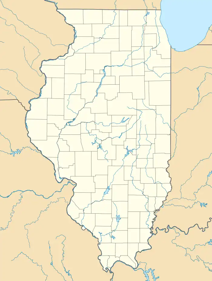
Moro, Illinois
Moro is an unincorporated community and census-designated place (CDP) in Madison County, Illinois, United States. As of the 2020 census it had a population of 387.[2] Moro, like all of Madison County, is part of the Illinois Metro-East region of the Greater St. Louis metropolitan area.
Moro, Illinois | |
|---|---|
 Moro  Moro | |
| Coordinates: 38°55′29″N 90°01′19″W | |
| Country | United States |
| State | Illinois |
| County | Madison |
| Townships | Moro, Fort Russell |
| Area | |
| • Total | 0.223 sq mi (0.58 km2) |
| • Land | 0.219 sq mi (0.57 km2) |
| • Water | 0.004 sq mi (0.01 km2) |
| Elevation | 531 ft (162 m) |
| Population | |
| • Total | 397 |
| • Density | 1,812.8/sq mi (699.9/km2) |
| Time zone | UTC-6 (Central (CST)) |
| • Summer (DST) | UTC-5 (CDT) |
| ZIP code | 62067 |
| Area code | 618 |
| GNIS feature ID | 413830[3] |
The city of Moro, Oregon, is named for the Illinois community.[4]
Geography
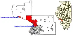
Moro is located in northwestern Madison County and sits at the northeast edge of the urban portion of the Metro-East area. It is bordered to the southwest by the village of Bethalto, while unincorporated Meadowbrook is 2 miles (3 km) to the southeast. Downtown St. Louis is 26 miles (42 km) to the southwest. Moro has a post office with ZIP code 62067.[5]
According to the U.S. Census Bureau, the Moro CDP has a total area of 0.22 square miles (0.57 km2), of which 0.004 square miles (0.010 km2), or 1.79%, are water.[1] The community drains west to Rocky Branch, a tributary of the East Fork of the Wood River, running to the Mississippi River at East Alton.
References
- "2022 U.S. Gazetteer Files: Illinois". United States Census Bureau. Retrieved February 22, 2023.
- "P1. Race – Moro CDP, Illinois: 2020 DEC Redistricting Data (PL 94-171)". U.S. Census Bureau. Retrieved February 22, 2023.
- "US Board on Geographic Names". United States Geological Survey. October 25, 2007. Retrieved January 31, 2008.
- Church, Foster (October 2, 2009). "Moro, an Oregon town living large". The Oregonian. Retrieved October 10, 2021.
- ZIP Code Lookup
