Mount Brew (Lillooet Ranges)
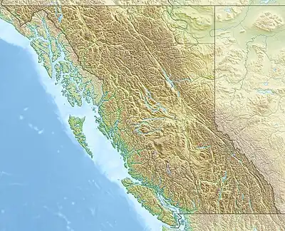
Mount Brew is a mountain located 12 km (7 mi) south of Lillooet and 44 km (27 mi) north of Skihist Mountain in south-central British Columbia, Canada. It lies on the western side of the Fraser River and is the third-highest mountain of the Lillooet Ranges, after Skihist Mountain and Petlushkwohap Mountain in the Cantilever Range to the west of Lytton.
| Mount Brew | |
|---|---|
 Mount Brew | |
| Highest point | |
| Elevation | 2,891 m (9,485 ft)[1] |
| Prominence | 1,035 m (3,396 ft)[1] |
| Parent peak | Skihist Mountain (2968 m)[1] |
| Listing | Mountains of British Columbia |
| Coordinates | 50°35′06″N 121°58′16″W[2] |
| Geography | |
| Location | British Columbia, Canada |
| District | Lillooet Land District |
| Parent range | Lillooet Ranges |
| Topo map | NTS 92I12 Lillooet[2] |
The mountain was named in 1859 by Lt. Mayne for Chartres Brew, a police officer and judge in the Colony of British Columbia.[3]
References
- "Mount Brew". Bivouac.com. Retrieved 2020-01-31.
- "Mount Brew". Geographical Names Data Base. Natural Resources Canada. Retrieved 2020-01-31.
- "Mount Brew". BC Geographical Names. Retrieved 2020-01-31.
This article is issued from Wikipedia. The text is licensed under Creative Commons - Attribution - Sharealike. Additional terms may apply for the media files.