Mount Lincoln (New Hampshire)
Mount Lincoln is a 5,089-foot-high (1,551 m) mountain within the Franconia Range of the White Mountains of New Hampshire. Lincoln is located between Little Haystack and Mount Lafayette. All three overlook Franconia Notch. The west side of Lincoln drains into the main stem of the Pemigewasset River. The east side drains into Lincoln Brook, thence into the Franconia Branch of the Pemigewasset.
| Mount Lincoln | |
|---|---|
 Mount Lincoln viewed from Little Haystack Mountain on the Franconia Ridge. | |
| Highest point | |
| Elevation | 5,089 ft (1,551 m)[1] |
| Prominence | 169 ft (52 m)[1] |
| Parent peak | Mount Lafayette |
| Listing | White Mountain 4000-Footers |
| Coordinates | 44°08′56″N 71°38′40″W[2] |
| Geography | |
  | |
| Country | United States |
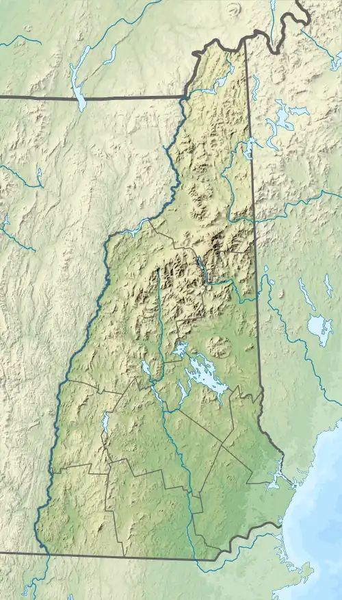
| State | New Hampshire |
| District | Grafton County |
| Subdivision | Franconia |
| Parent range | Franconia Range |
| Topo map | USGS Franconia |
| Climbing | |
| Easiest route | Hike |
The Appalachian Trail, a 2,170-mile (3,490 km) National Scenic Trail from Georgia to Maine, traverses Franconia Ridge, including Lincoln.
References
- "Mount Lincoln, New Hampshire". Peakbagger.com. Retrieved 2013-01-29.
- "Mount Lincoln". Geographic Names Information System. United States Geological Survey, United States Department of the Interior. Retrieved 2013-01-29.
This article is issued from Wikipedia. The text is licensed under Creative Commons - Attribution - Sharealike. Additional terms may apply for the media files.