Mouser, Oklahoma
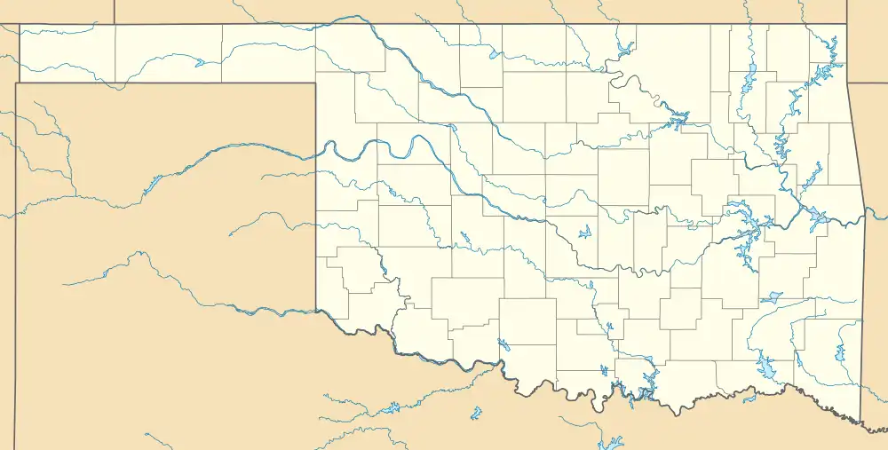
Mouser is an unincorporated community in Texas County, Oklahoma, United States. Mouser is 13.5 miles (21.7 km) north-northeast of Guymon and 11 miles (18 km) west of Hooker. The community of Straight is two miles to the west.[2] The Beaver, Meade and Englewood Railroad (BM&E) reached the locale in the summer of 1928,[3] and two grain elevators in Mouser, the Mouser Grain Elevator and the Mouser Woodframe Grain Elevator/Collingwood Elevator, which were built along the BM&E's tracks, are now listed on the National Register of Historic Places listings in Texas County, Oklahoma.[4]
Mouser, Oklahoma | |
|---|---|
 Mouser, Oklahoma | |
| Coordinates: 36°52′14″N 101°24′55″W[1] | |
| Country | United States |
| State | Oklahoma |
| County | Texas |
| Elevation | 3,127 ft (953 m) |
| Time zone | UTC-6 (Central (CST)) |
| • Summer (DST) | UTC-5 (CDT) |
| Area code | 580 |
| GNIS feature ID | 1100652[1] |
Transportation
Mouser is just off County Road 7, east of Oklahoma State Highway 136 and west of US Route 64.[5]
Guymon Municipal Airport is about 18 miles south-southwest,[6] while commercial air transportation is available out of Liberal Mid-America Regional Airport in Kansas,[7] approximately 33 miles east-northeast.[8]
References
- "Mouser". Geographic Names Information System. United States Geological Survey, United States Department of the Interior.
- Oklahoma Atlas & Gazeteer, DeLorme, 1st ed., 1998, p. 15 ISBN 0899332838
- "Construction Strategies of Railroads in the Oklahoma Panhandle". Donovan L. Hofsommer, Chronicles of Oklahoma, Vol. 58, No 1, Spring 1980, pp. 82-89. Retrieved December 6, 2021.
- "National Register Information System". National Register of Historic Places. National Park Service. July 9, 2010.
- "Mouser, Oklahoma". Google Maps. Retrieved January 5, 2021.
- "Guymon Municipal Airport to Mouser, Oklahoma". Google Maps. Retrieved January 5, 2021.
- "Liberal Mid-America Regional Airport". City of Liberal. Retrieved September 7, 2020.
- "Liberal Airport to Mouser, Oklahoma". Google Maps. Retrieved January 5, 2021.
Municipalities and communities of Texas County, Oklahoma, United States | ||
|---|---|---|
| Cities | 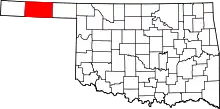 Texas County map | |
| Towns | ||
| CDPs | ||
| Other communities | ||