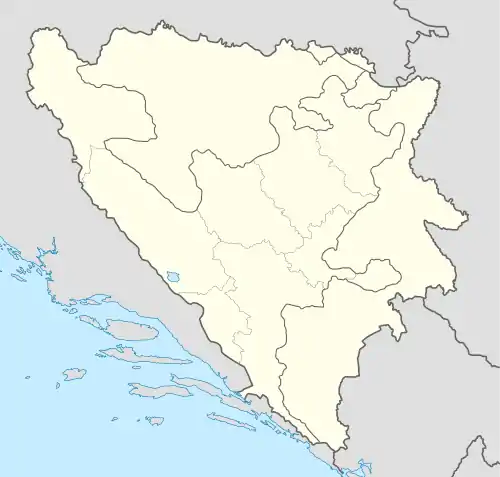
Mudrike
Mudrike is populated place in Bosnia and Herzegovina, Travnik Municipality.[1][2][3][4]
Mudrike | |
|---|---|
Village | |
 Mudrike | |
| Coordinates: 44.306747°N 17.536004°E | |
| Country | |
| Entity | Federation of Bosnia and Herzegovina |
| Canton | |
| Municipality | |
| Area | |
| • Total | 3.27 sq mi (8.48 km2) |
| Highest elevation | 3,704 ft (1,129 m) |
| Lowest elevation | 3,600 ft (1,100 m) |
| Population (2013) | |
| • Total | 550 |
| • Density | 170/sq mi (65/km2) |
| Time zone | UTC+1 (CET) |
| • Summer (DST) | UTC+2 (CEST) |
| Area code | +387 (030) |
Climate
In Mudrike there is a typical Mountain Climate of Central Bosnia.
Population
| Mudrike[5][6] Census 2013: Total 556 citizens | ||||||
| Census Year | 2013. | 1991. | 1981. | 1971. | ||
| Bosniaks | 536 (97,5%) | 579 (77,41%) | 557 (75,27%) | 491 (71,99%) | ||
| Serbs | 9 (1,69%) | 148 (19,79%) | 180 (24,32%) | 189 (27,71%) | ||
| Croats | – | 1 (0,147%) | – | – | ||
| Yugoslavs | – | – | 3 (0,405%) | 1 (0,147%) | ||
| Others and unknown | 5 (0,9%) | 20 (2,674%) | – | 1 (0,147%) | ||
| Total | 550[7] | 748 | 740 | 682 | ||
See also
References
- "Općina Travnik". nasbih.com.
- "Home". kartabih.com.
- Vojnogeografski institut, Izd. (1955): Travnik (List karte 1:100.000, Izohipse na 20 m). Vojnogeografski institut, Beograd.
- Mučibabić B., ed. (1998). Geografski atlas Bosne i Hercegovine. Sarajevo: Geodetski zavod BiH. ISBN 9958-766-00-0.
- Knjiga: "Nacionalni sastav stanovništva - Rezultati za Republiku po opštinama i naseljenim mjestima 1991.", statistički bilten br. 234, Izdanje Državnog zavoda za statistiku Republike Bosne i Hercegovine, Sarajevo.
- internet - izvor, "Popis po mjesnim zajednicama" - "Archived copy" (PDF). Archived from the original (PDF) on 2013-10-05. Retrieved 2013-10-05.
{{cite web}}: CS1 maint: archived copy as title (link) - "Naseljena Mjesta 1991/2013" (in Bosnian). Statistical Office of Bosnia and Herzegovina. Retrieved December 10, 2021.
This article is issued from Wikipedia. The text is licensed under Creative Commons - Attribution - Sharealike. Additional terms may apply for the media files.