Mykolaivka, Sumy Raion, Sumy Oblast
Mykolaivka (Ukrainian: Миколаївка), previously Mykolaivka-Vyrivska (until 1957) and later Zhovtneve (1957–2016) is an urban type settlement in Sumy Raion, Sumy Oblast, northeastern Ukraine. Population: 4,147 (2022 estimate).[2]
Mykolaivka
Миколаївка | |
|---|---|
 Coat of arms | |
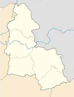 Mykolaivka 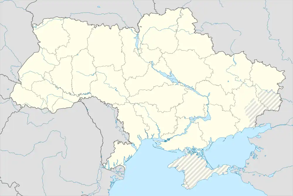 Mykolaivka | |
| Coordinates: 50°56′29″N 34°22′43″E | |
| Country | |
| Oblast | |
| Raion | Sumy Raion |
| Established | 1650s[1] |
| Area | |
| • Total | 6.4 km2 (2.5 sq mi) |
| Population (2022) | |
| • Total | |
| Time zone | UTC+02:00 (EET) |
| • Summer (DST) | UTC+03:00 (EEST) |
| Postal index | 41854 |
| Area code | +380 5443 |
History
During World War II it was under German occupation.
Urban-type settlement since 1957.
In January 1989 the population was 4768 people.[3]
In January 2013 the population was 4350 people.[4]
The settlement was called Zhovtneve, to commemorate the October Revolution, until 2016. On 19 May 2016, Verkhovna Rada adopted decision to rename Chervone to Esman according to the law prohibiting names of Communist origin.[5]
References
- Mykolaivka, Bilopillia Raion. The History of Cities and Villages of the Ukrainian SSR.
- Чисельність наявного населення України на 1 січня 2022 [Number of Present Population of Ukraine, as of January 1, 2022] (PDF) (in Ukrainian and English). Kyiv: State Statistics Service of Ukraine. Archived (PDF) from the original on 4 July 2022.
- Всесоюзная перепись населения 1989 г. Численность городского населения союзных республик, их территориальных единиц, городских поселений и городских районов по полу
- Чисельність наявного населення України на 1 січня 2013 року. Державна служба статистики України. Київ, 2013. стор.92
- Скакун, Сергей (19 May 2016). "Верховна Рада переименовала 20 сел на Сумщине". Данкор онлайн (in Russian).
This article is issued from Wikipedia. The text is licensed under Creative Commons - Attribution - Sharealike. Additional terms may apply for the media files.