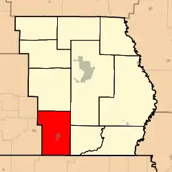
Neely Township, Butler County, Missouri
Neely Township is one of ten townships in Butler County, Missouri, USA. As of the 2010 census, its population was 1,126.[3]
Neely Township | |
|---|---|
 | |
| Coordinates: 36°33′47″N 090°31′06″W | |
| Country | United States |
| State | Missouri |
| County | Butler |
| Area | |
| • Total | 59.9 sq mi (155.15 km2) |
| • Land | 59.86 sq mi (155.05 km2) |
| • Water | 0.04 sq mi (0.1 km2) 0.06% |
| Elevation | 305 ft (93 m) |
| Population (2010) | |
| • Total | 1,126 |
| • Density | 21/sq mi (8.1/km2) |
| FIPS code | 29-51392[2] |
| GNIS feature ID | 0766355[1] |
Neely Township was organized in 1871, and named after Obadiah Neely, an early citizen.[4]
Geography
Neely Township covers an area of 59.9 square miles (155 km2) and contains one incorporated settlement, Neelyville. It contains seven cemeteries: Crab, Harris Ridge, Lutz, Neeleyville, Roberts, Sheely and Sims.
The streams of Big Cane Creek, Cane Creek, Cope Branch, Fox Branch and Gaines Slough run through this township.
Transportation
Neely Township contains one airport or landing strip: Wattle Landing Strip.
References
- U.S. Geological Survey Geographic Names Information System: Neely Township, Butler County, Missouri
- "U.S. Census website". United States Census Bureau. Retrieved January 31, 2008.
- U.S. Census Bureau (September 2012). "2010 Census of Population and Housing, Population and Housing Unit Counts, Missouri" (PDF). U.S. Government Printing Office. Archived from the original (PDF) on October 21, 2016.
- "Butler County Place Names, 1928–1945 (archived)". The State Historical Society of Missouri. Archived from the original on June 24, 2016. Retrieved September 6, 2016.
{{cite web}}: CS1 maint: bot: original URL status unknown (link)
External links
Municipalities and communities of Butler County, Missouri, United States | ||
|---|---|---|
| Cities | 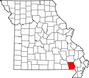 Map of Missouri highlighting Butler County | |
| Townships | ||
| CDPs | ||
| Other communities | ||
| Ghost town | ||
| Footnotes | ‡This populated place also has portions in an adjacent county or counties | |
This article is issued from Wikipedia. The text is licensed under Creative Commons - Attribution - Sharealike. Additional terms may apply for the media files.