Nesika Beach, Oregon
Nesika Beach is census-designated place and unincorporated community in Curry County, Oregon, United States.[2] It is located 8 miles (13 km) north of Gold Beach on the Oregon Coast. As of the 2020 census it had a population of 432.[4]
Nesika Beach, Oregon | |
|---|---|
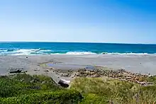
 Store at Nesika Beach | |
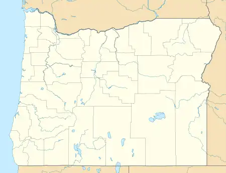 Nesika Beach Location within the state of Oregon  Nesika Beach Nesika Beach (the United States) | |
| Coordinates: 42°30′17″N 124°24′23″W | |
| Country | United States |
| State | Oregon |
| County | Curry |
| Area | |
| • Total | 2.28 sq mi (5.91 km2) |
| • Land | 2.28 sq mi (5.91 km2) |
| • Water | 0.00 sq mi (0.00 km2) |
| Elevation | 210 ft (60 m) |
| Population | |
| • Total | 432 |
| • Density | 189.39/sq mi (73.11/km2) |
| Time zone | UTC-8 (Pacific (PST)) |
| • Summer (DST) | UTC-7 (PDT) |
| ZIP code | 97444 |
| Area code(s) | 458 and 541 |
| FIPS code | 41-51950 |
| GNIS feature ID | 2611770[2] |
Nesika means "we", "us", or "our" in Chinook Jargon.[5]
Education
It is in the Central Curry School District,[7] which operates two schools: Riley Creek Elementary School (K-8) and Gold Beach High School.
The entire county is in the Southwestern Oregon Community College district.[8]
Nesika Beach
Climate
| Climate data for Nesika Beach, Oregon | |||||||||||||
|---|---|---|---|---|---|---|---|---|---|---|---|---|---|
| Month | Jan | Feb | Mar | Apr | May | Jun | Jul | Aug | Sep | Oct | Nov | Dec | Year |
| Average high °F (°C) | 54.8 (12.7) |
55.3 (12.9) |
56.5 (13.6) |
58.3 (14.6) |
61.7 (16.5) |
65.0 (18.3) |
67.5 (19.7) |
68.0 (20.0) |
67.5 (19.7) |
63.5 (17.5) |
57.1 (13.9) |
54.0 (12.2) |
60.8 (16.0) |
| Average low °F (°C) | 41.6 (5.3) |
41.6 (5.3) |
42.2 (5.7) |
43.5 (6.4) |
46.7 (8.2) |
49.8 (9.9) |
52.4 (11.3) |
52.7 (11.5) |
50.9 (10.5) |
47.7 (8.7) |
43.9 (6.6) |
41.0 (5.0) |
46.2 (7.9) |
| Average precipitation inches (mm) | 11.90 (302) |
10.94 (278) |
10.62 (270) |
6.47 (164) |
3.84 (98) |
1.84 (47) |
0.46 (12) |
1.09 (28) |
2.17 (55) |
5.04 (128) |
11.78 (299) |
13.15 (334) |
79.30 (2,014) |
| Source: [9] | |||||||||||||
See also
References
- "ArcGIS REST Services Directory". United States Census Bureau. Retrieved October 12, 2022.
- U.S. Geological Survey Geographic Names Information System: Nesika Beach, Oregon
- "Census Population API". United States Census Bureau. Retrieved October 12, 2022.
- "Geographic Identifiers: 2020 Demographic Profile Data (G001): Nesika Beach CDP, Oregon". U.S. Census Bureau, American Factfinder. Retrieved March 10, 2021.
- "Provincial Nesika Awards". Embrace BC. Retrieved January 21, 2011.
- "Census of Population and Housing". Census.gov. Retrieved June 4, 2016.
- "2020 CENSUS - SCHOOL DISTRICT REFERENCE MAP: Curry County, OR" (PDF). U.S. Census Bureau. Retrieved July 16, 2022.
- "Oregon Community Colleges and Community College Districts" (PDF). Oregon Department of Community Colleges & Workforce Development. Retrieved July 17, 2022.
- "Nesika Beach, Oregon Climate". www.bestplaces.net. Retrieved February 10, 2022.
Municipalities and communities of Curry County, Oregon, United States | ||
|---|---|---|
| Cities |  Curry County map | |
| CDPs | ||
| Other communities | ||
| Ghost town | ||
| Indian reservation | ||
| Footnotes | ‡This populated place also has portions in an adjacent county or counties | |
This article is issued from Wikipedia. The text is licensed under Creative Commons - Attribution - Sharealike. Additional terms may apply for the media files.