Niellé
Niellé is a town in the far north of Ivory Coast. It is a sub-prefecture and commune of Ouangolodougou Department in Tchologo Region, Savanes District. The border with Mali is located 30 kilometres north of town.
Niellé | |
|---|---|
Town, sub-prefecture, and commune | |
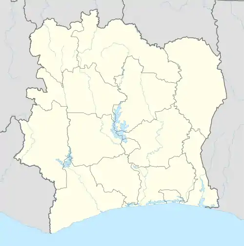 Niellé Location in Ivory Coast | |
| Coordinates: 10°12′N 5°38′W | |
| Country | |
| District | Savanes |
| Region | Tchologo |
| Department | Ouangolodougou |
| Area | |
| • Total | 655 km2 (253 sq mi) |
| Elevation | 335 m (1,099 ft) |
| Population (2021)[1] | |
| • Total | 48,524 |
| • Density | 74/km2 (190/sq mi) |
| • Town | 19,116[2] |
| (2014 census) | |
| Time zone | UTC+0 (GMT) |
Niellé is in the sub-Saharan Sahel savanna biogeography region, which is characterised by grasslands with trees, such as the baobab (Adansonia digitata), umbrella thorn acacia (Acacia tortilis) and other species.
In 2021, the population of the sub-prefecture of Niellé was 48,524.[1]
Villages
The 10 villages of the sub-prefecture of Niellé and their population in 2014 are:
- Fala (537)
- Nalogo (1 327)
- Niellé (19 116)
- Békaha (427)
- Diellé (1 784)
- Gbinzo 1 (2 962)
- Kassérégué (575)
- Kassiongokoro (1 654)
- Korifon (242)
- Louholo (398)
Notes
- Citypopulation.de Population of the regions and sub-prefectures of Ivory Coast
- [https://www.citypopulation.de/en/ivorycoast/cities/ Population of cities & localities in Ivory Coast
Regional seat: Ferkessédougou | ||
| Ferkessédougou Department | 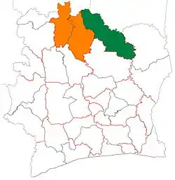 | |
| Kong Department | ||
| Ouangolodougou Department | ||
* also a commune | ||
This article is issued from Wikipedia. The text is licensed under Creative Commons - Attribution - Sharealike. Additional terms may apply for the media files.