Nighoj
Nighoj is a village in Ahmednagar District, Maharashtra, India. It is about 90 kilometres away from Pune and had naturally created potholes (tinajas) on the riverbed of the Kukadi River.[1]
Nighoj | |
|---|---|
village | |
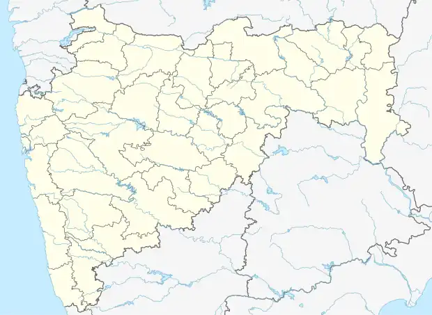 Nighoj Location in Maharashtra, India  Nighoj Nighoj (India) | |
| Coordinates: 18°57′35″N 074°16′37″E | |
| Country | |
| State | Maharashtra |
| District | Ahmadnagar |
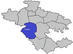
| Taluka | Parner |
| Government | |
| • Body | Village panchayat |
| Population (2011) | |
| • Total | 13,600 |
| Languages | |
| • Official | Marathi |
| Time zone | UTC+5:30 (IST) |
| PIN | 414 306 |
| Telephone code | 02488 |
| Vehicle registration | MH-16, MH-17 |
| Lok Sabha constituency | Ahmednagar |
| Vidhan Sabha constituency | Parner |
| Nearest towns | Parner, Shirur, Alkuti |

Potholes in Nighoj river
Geologists indicate that formerly there was greater rainfall in the area and that the Kukadi River flowed out from the highlands, scouring the bedrock and forming the potholes and the gorge.[2]
Religion
The majority of the population in Nighoj is Hindu, but there are also Muslims. There are several temples in the village, one of which, the Malaganga temple, is located on the bank of the gorge on the old river-bed itself.[1]
References
- Gunaji, Milind (2010). Offbeat Tracks in Maharashtra (second ed.). Mumbai, India: Popular Prakashan. p. 231. ISBN 978-81-7991-578-3.
- Babar, Md. (2005). "8. Hydrogeomorphology of Landforms". Hydrogeomorphology: Fundamentals, Applications and Techniques. New Delhi: New India Publishing Agency. pp. 149–150. ISBN 978-81-89422-01-1.
External links
Wikimedia Commons has media related to Nighoj.
This article is issued from Wikipedia. The text is licensed under Creative Commons - Attribution - Sharealike. Additional terms may apply for the media files.