Nizhny Katrukh
Nizhny Katrukh (Russian: Нижний Катрух; Azerbaijani: Ашағы Гатрух, Aşağı Qatrux) is a rural locality (a selo) in Rutulsky District, Republic of Dagestan, Russia. Population: 481 (2021 Census);[2] 710 (2002 Census);[3] 683 (1989 Census).[4] There are 4 streets.[5]
Nizhny Katrukh
Нижний Катрух Ашағы Гатрух | |
|---|---|
Selo | |
 Nizhny Katrukh  Nizhny Katrukh | |
| Coordinates: 41°44′N 47°12′E[1] | |
| Country | Russia |
| Region | Republic of Dagestan |
| District | Rutulsky District |
| Time zone | UTC+3:00 |
Geography
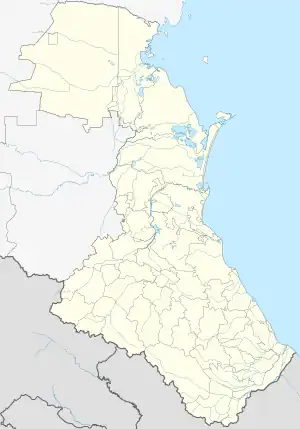
Nizhny Katrukh is located on the Samur ridge, near the Khirivalyu river, 35 km northwest of Rutul (the district's administrative centre) by road. Verkhny Katrukh and Arakul are the nearest rural localities.[6]
Nationalities
Azerbaijanis live there.
References
- Село Нижний Катрух на карте
- Russian Federal State Statistics Service. Всероссийская перепись населения 2020 года. Том 1 [2020 All-Russian Population Census, vol. 1] (XLS) (in Russian). Federal State Statistics Service.
- Russian Federal State Statistics Service (21 May 2004). Численность населения России, субъектов Российской Федерации в составе федеральных округов, районов, городских поселений, сельских населённых пунктов – районных центров и сельских населённых пунктов с населением 3 тысячи и более человек [Population of Russia, Its Federal Districts, Federal Subjects, Districts, Urban Localities, Rural Localities—Administrative Centers, and Rural Localities with Population of Over 3,000] (XLS). Всероссийская перепись населения 2002 года [All-Russia Population Census of 2002] (in Russian).
- Всесоюзная перепись населения 1989 г. Численность наличного населения союзных и автономных республик, автономных областей и округов, краёв, областей, районов, городских поселений и сёл-райцентров [All Union Population Census of 1989: Present Population of Union and Autonomous Republics, Autonomous Oblasts and Okrugs, Krais, Oblasts, Districts, Urban Settlements, and Villages Serving as District Administrative Centers]. Всесоюзная перепись населения 1989 года [All-Union Population Census of 1989] (in Russian). Институт демографии Национального исследовательского университета: Высшая школа экономики [Institute of Demography at the National Research University: Higher School of Economics]. 1989 – via Demoscope Weekly.
- Село Нижний Катрух на карте
- Расстояние от Нижнего Катруха до Рутула 35 км
This article is issued from Wikipedia. The text is licensed under Creative Commons - Attribution - Sharealike. Additional terms may apply for the media files.