Nowa Wieś, West Pomeranian Voivodeship
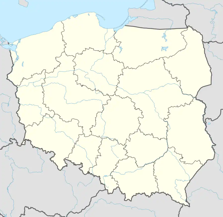
Nowa Wieś [ˈnɔva ˈvjɛɕ] (German: Schönhölzig) is a village in the administrative district of Gmina Czaplinek, within Drawsko County, West Pomeranian Voivodeship, in north-western Poland.[1] It lies approximately 15 kilometres (9 mi) south-east of Czaplinek, 41 km (25 mi) east of Drawsko Pomorskie, and 120 km (75 mi) east of the regional capital Szczecin.
Nowa Wieś | |
|---|---|
Village | |
 Nowa Wieś 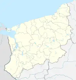 Nowa Wieś | |
| Coordinates: 53°27′14″N 16°23′24″E | |
| Country | |
| Voivodeship | West Pomeranian |
| County | Drawsko |
| Gmina | Czaplinek |
| Time zone | UTC+1 (CET) |
| • Summer (DST) | UTC+2 (CEST) |
| Area code | +48 94 |
| Car plates | ZDR |
History
The territory became a part of the emerging Polish state under its first historic ruler Mieszko I in the 10th century. It was a private village of Polish nobility, administratively located in the Wałcz County in the Poznań Voivodeship in the Greater Poland Province of the Kingdom of Poland.[2]
References
- "Central Statistical Office (GUS) – TERYT (National Register of Territorial Land Apportionment Journal)" (in Polish). 2008-06-01.
- Atlas historyczny Polski. Wielkopolska w drugiej połowie XVI wieku. Część I. Mapy, plany (in Polish). Warsaw: Institute of History, Polish Academy of Sciences. 2017. p. 1a.
This article is issued from Wikipedia. The text is licensed under Creative Commons - Attribution - Sharealike. Additional terms may apply for the media files.