Ournie, New South Wales
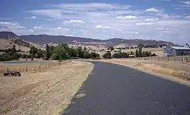
Ournie is a rural community in the far south east part of the Riverina and situated about 15 kilometres north west from Welaregang and 20 kilometres south from Munderoo. Ournie is situated on the banks of the Ournie Creek which flows into the Murray River and the area is only about 4 kilometres from the border of Victoria.
| Ournie New South Wales | |
|---|---|
 Ournie | |
 Ournie | |
| Coordinates | 35°56′41″S 147°50′58″E |
| Population | 34 (SAL 2021)[1] |
| Postcode(s) | 2640 |
| Elevation | 516 m (1,693 ft) |
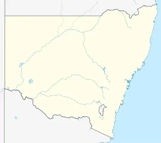
| Location |
|
| County | Selwyn |
| State electorate(s) | Albury |
Ournie Post Office opened on 1 July 1872, closed in 1875, reopened in 1904 and closed again in 1968.[2]
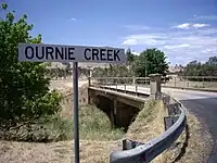
Ournie Creek
Notes and references
- Australian Bureau of Statistics (28 June 2022). "Ournie (Suburb and Locality)". Australian Census 2021 QuickStats. Retrieved 28 June 2022.
- Premier Postal History, Post Office List, retrieved 11 June 2009
Wikimedia Commons has media related to Ournie, New South Wales.
This article is issued from Wikipedia. The text is licensed under Creative Commons - Attribution - Sharealike. Additional terms may apply for the media files.