Woodend, New South Wales
Woodend is a rural community in the central part of the Riverina about 14 kilometres north east of Pleasant Hills.[1] It is situated by road, about 12 kilometres west from Yerong Creek and 23 kilometres east from Osborne.
| Woodend New South Wales | |
|---|---|
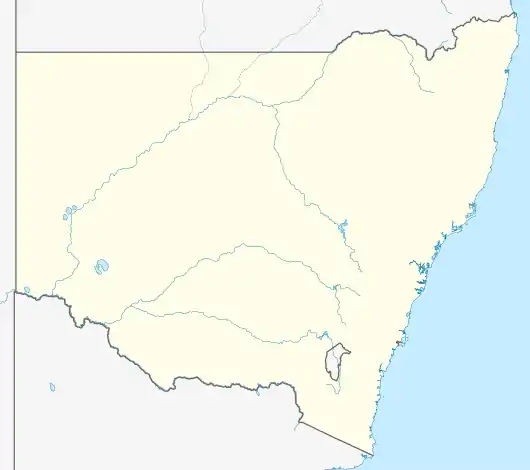 Woodend Location in New South Wales | |
| Coordinates | 35°24′S 146°56′E |
| Location |
|
| LGA(s) | Lockhart Shire |
| County | Mitchell |
| State electorate(s) | Wagga Wagga |
Notes and references
- "Woodend". Geographical Names Register (GNR) of NSW. Geographical Names Board of New South Wales. Retrieved 11 August 2013.
Wikimedia Commons has media related to Woodend, New South Wales.
This article is issued from Wikipedia. The text is licensed under Creative Commons - Attribution - Sharealike. Additional terms may apply for the media files.