Outingdale, California
Outingdale | |
|---|---|
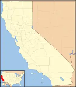 Outingdale Location in California  Outingdale Outingdale (the United States) | |
| Coordinates: 38°37′00″N 120°43′48″W | |
| Country | United States |
| State | California |
| County | El Dorado County |
| Elevation | 1,624 ft (495 m) |
| Population (2010) | |
| • Total | 129 |
Outingdale (formerly, Mars[2][3] and Outingdale Resort)[4] is an unincorporated community in El Dorado County, California.[1] It is located on the Middle Fork of the Cosumnes River 4 miles (6.4 km) north of Aukum,[4] at an elevation of 1624 feet (495 m).[1]
References
- U.S. Geological Survey Geographic Names Information System: Outingdale, California
- "California. Placerville quadrangle (30'), 1893 (1905) :: Historical California Topographical Maps, 1886-1977". digitallibrary.usc.edu. USGS. p. Top right section of center bottom section. Retrieved July 29, 2018.
- "Reservoir Sites Selected by Marshall in Valley Watershed". The Sacramento Union. No. Vol. 219, Number 11. Sacramento, CA. March 11, 1921. p. 8. Retrieved July 31, 2018.
Cosumnnes River (El Dorado County): ... (3) Baker's Ford, one-half mile above Mars, on Middle Fork.
- Durham, David L. (1998). California's Geographic Names: A Gazetteer of Historic and Modern Names of the State. Clovis, Calif.: Word Dancer Press. p. 534. ISBN 1-884995-14-4.
Municipalities and communities of El Dorado County, California, United States | ||
|---|---|---|
| Cities |  El Dorado County map | |
| CDPs | ||
| Unincorporated communities |
| |
| Former settlements | ||
| Footnotes | ‡This CDP also has portions in an adjacent county or counties | |
This article is issued from Wikipedia. The text is licensed under Creative Commons - Attribution - Sharealike. Additional terms may apply for the media files.