Parsons Boulevard
Parsons Boulevard is a road in Queens, New York. Its northern end is at Malba Drive in the Malba neighborhood and its southern end is at Archer Avenue in downtown Jamaica.
| Owner | City of New York |
|---|---|
| Maintained by | NYCDOT |
| Length | 6.2 mi (10.0 km)[1][2][3][4] Four disjointed sections |
| Location | Queens, New York City |
| South end | Archer Avenue in Jamaica |
| Major junctions | |
| North end | 144th Street in Malba |
Route
The road stretches for nearly six miles, divided into four segments:
- Malba Drive to Whitestone Expressway: 0.4 miles (0.6 km)[1]
- Whitestone Expressway to Rose Avenue at Kissena Park: 3.0 miles (4.8 km)[2]
- Booth Memorial Avenue to Horace Harding Expressway: 0.2 miles (0.3 km)[3]
- Horace Harding Expressway to Archer Avenue: 2.6 miles (4.2 km)[4]
History

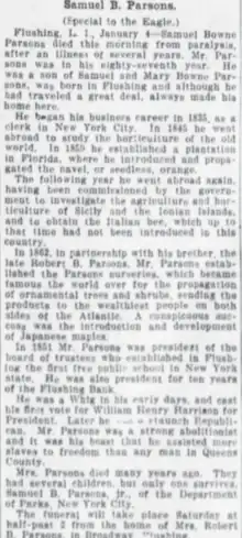
Parsons Boulevard takes its name from Samuel Bowne Parsons Sr., who moved to Flushing from Manhattan around 1800 and married Mary Bowne, a descendant of prominent local settler John Bowne. Samuel Bowne Parsons Sr. was an accomplished and well noted horticulturist, who was the first to import Japanese Maples and propagate rhododendrons. Parsons' nursery was located within present-day Kissena Park.
The oldest section of Parsons Boulevard is between Kissena Boulevard in Kew Gardens Hills and Archer Avenue in Jamaica. Dating to the colonial period, this segment, together with Kissena Boulevard, connected the early settlements of Jamaica and Flushing. The most recent section of Parsons Boulevard was completed in 1951, during the construction of the Pomonok apartments. In contrast to most boulevards in Queens, Parsons is not regarded as a major transportation route because it is broken into four segments, with the section through Kissena Park having never been built, along with the Whitestone Expressway and Long Island Expressway interrupting its route.
Transportation
Between 14th Avenue and Union Street, the Q20 and Q44 buses follow Parsons Boulevard. Between Kissena Boulevard and Archer Avenue, the Q25 and Q34 buses follow Parsons Boulevard.[5]
Parsons Boulevard is also the name of the following stations of the New York City Subway in Queens:[6]
- Parsons Boulevard (IND Queens Boulevard Line), serving the F and <F> train
- Jamaica Center–Parsons/Archer (New York City Subway), serving the E, J, and Z trains
References
- Google (July 1, 2018). "Parsons Boulevard" (Map). Google Maps. Google. Retrieved July 1, 2018.
- Google (July 1, 2018). "Parsons Boulevard" (Map). Google Maps. Google. Retrieved July 1, 2018.
- Google (July 1, 2018). "Parsons Boulevard" (Map). Google Maps. Google. Retrieved July 1, 2018.
- Google (July 1, 2018). "Parsons Boulevard" (Map). Google Maps. Google. Retrieved July 1, 2018.
- "Queens Bus Map" (PDF). Metropolitan Transportation Authority. August 2022. Retrieved September 29, 2022.
- "Subway Map" (PDF). Metropolitan Transportation Authority. September 2021. Retrieved September 17, 2021.