Pasanauri
Pasanauri (Georgian: ფასანაური, also spelled Passanauri) is a small town (daba) in Georgia, situated in the Dusheti district, Mtskheta-Mtianeti region.
Pasanauri
| |
|---|---|
.jpg.webp) Pasanauri in the 1870s | |
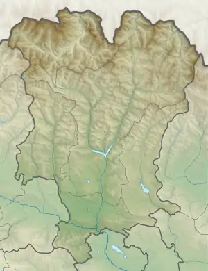 Pasanauri Location of Pasanauri in Georgia 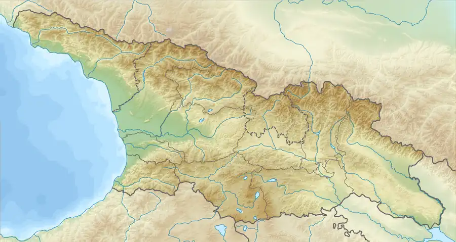 Pasanauri Pasanauri (Georgia) | |
| Coordinates: 42°20′47″N 44°41′34″E | |
| Country | |
| Mkhare | Mtskheta-Mtianeti |
| Municipality | Dusheti |
| Elevation | 1,050 m (3,440 ft) |
| Population (2014) | |
| • Total | 1,148 |
| Time zone | UTC+4 (Georgian Time) |
Pasanauri lies about 90 kilometres (56 mi) north of the nation's capital of Tbilisi,[1] at elevation of 1,050 m. above sea level.[2] Located on the Georgian Military Road, Pasanauri is flanked by the Aragvi River,[3] and surrounded by the Caucasus Mountains. Average winter temperature is 0 degrees Celsius, but often falls below 10 degrees Celsius. As of the 2014 census, the townlet had a population of 1,148.
Due to its picturesque location and the proximity to nearby historical sites as well as for its mineral water, hiking routes, handcrafted items and food, Pasanauri became a popular tourist destination in the Soviet period,[4] but suffered decay during the years of post-Soviet crisis.
Climate
| Climate data for Pasanauri (1981–2010) | |||||||||||||
|---|---|---|---|---|---|---|---|---|---|---|---|---|---|
| Month | Jan | Feb | Mar | Apr | May | Jun | Jul | Aug | Sep | Oct | Nov | Dec | Year |
| Record high °C (°F) | 11.9 (53.4) |
15.0 (59.0) |
22.6 (72.7) |
28.5 (83.3) |
30.0 (86.0) |
32.0 (89.6) |
36.0 (96.8) |
37.0 (98.6) |
36.0 (96.8) |
28.0 (82.4) |
21.3 (70.3) |
17.7 (63.9) |
37.0 (98.6) |
| Average high °C (°F) | 2.4 (36.3) |
4.2 (39.6) |
8.7 (47.7) |
15.1 (59.2) |
19.2 (66.6) |
23.3 (73.9) |
26.2 (79.2) |
25.9 (78.6) |
22.0 (71.6) |
16.4 (61.5) |
9.4 (48.9) |
3.9 (39.0) |
14.7 (58.5) |
| Daily mean °C (°F) | −3.0 (26.6) |
−1.6 (29.1) |
2.7 (36.9) |
8.6 (47.5) |
12.6 (54.7) |
16.3 (61.3) |
19.3 (66.7) |
18.8 (65.8) |
14.9 (58.8) |
9.9 (49.8) |
3.8 (38.8) |
−1.2 (29.8) |
8.4 (47.1) |
| Average low °C (°F) | −6.8 (19.8) |
−5.8 (21.6) |
−1.6 (29.1) |
3.7 (38.7) |
7.5 (45.5) |
10.9 (51.6) |
13.9 (57.0) |
13.6 (56.5) |
9.8 (49.6) |
5.2 (41.4) |
−0.1 (31.8) |
−4.6 (23.7) |
3.8 (38.8) |
| Record low °C (°F) | −21.0 (−5.8) |
−20.0 (−4.0) |
−17.3 (0.9) |
−10.4 (13.3) |
−2.0 (28.4) |
3.0 (37.4) |
6.0 (42.8) |
6.0 (42.8) |
−0.7 (30.7) |
−5.8 (21.6) |
−13.0 (8.6) |
−20.5 (−4.9) |
−21.0 (−5.8) |
| Average precipitation mm (inches) | 43.2 (1.70) |
53.1 (2.09) |
66.2 (2.61) |
105.7 (4.16) |
129.2 (5.09) |
126.9 (5.00) |
103.4 (4.07) |
102.8 (4.05) |
66.8 (2.63) |
78.5 (3.09) |
71.3 (2.81) |
54.8 (2.16) |
987.1 (38.86) |
| Source: World Meteorological Organization[5] | |||||||||||||
See also
References
- Dubinskaya, Lidiya (1985). The Soviet Union. Raduga Publishers. p. 274. Retrieved 2008-10-18.
- "Pasanauri". WeatherOnline. Retrieved 2008-10-18.
- Ghambashidze, David (2007). Mineral Resources of Georgia and Caucasia - Manganese Industry of Georgia. READ BOOKS. p. 101. ISBN 978-1-4086-2831-7. Retrieved 2008-10-18.
- Javaxišvili, Alekʻsandre; Georgiĭ Grigorʹevich Gvelesiani (1969). Soviet Georgia. Progress Publishers. p. 162. Retrieved 2008-10-18.
- "World Meteorological Organization Climate Normals for 1981–2010". World Meteorological Organization. Archived from the original on 9 October 2021. Retrieved 9 October 2021.