Pat, Hungary
Pat is a village located in the eastern part of Zala County,[1] Hungary, 25 kilometres from Nagykanizsa.
Pat | |
|---|---|
.svg.png.webp) Flag .svg.png.webp) Coat of arms | |
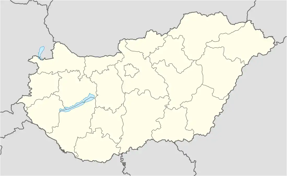 Pat Location of Pat, Hungary | |
| Coordinates: 46.44086°N 17.18345°E | |
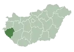
| Country | |
| County | Zala County |
| Area | |
| • Total | 8.33 km2 (3.22 sq mi) |
| Population (2015) | |
| • Total | 182 |
| • Density | 22.69/km2 (58.8/sq mi) |
| Time zone | UTC+1 (CET) |
| • Summer (DST) | UTC+2 (CEST) |
| Postal code | 8825 |
| Area code | 93 |
The neighbouring villages are Miháld and Varászló, which is now part of Somogy County.[2] The county border is only 300 metres from the centre of Pat.
Population
The nationality breakdown at the time of the 2011 census was as follows:
63.6% of the inhabitants declared themselves Roman Catholic, 5.8% Reformed, 18.9% Evangelical (10.2% did not declare).
References
- "Counties of Hungary", Wikipedia, 2021-03-02, retrieved 2021-07-03
- "Counties of Hungary", Wikipedia, 2021-03-02, retrieved 2021-07-03
External links
- Street map (in Hungarian)
.svg.png.webp)
This article is issued from Wikipedia. The text is licensed under Creative Commons - Attribution - Sharealike. Additional terms may apply for the media files.