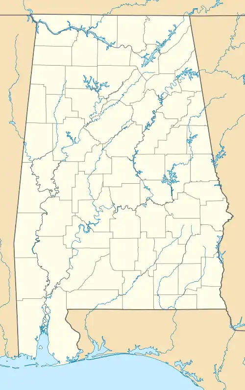
Pea Ridge, Shelby County, Alabama
Pea Ridge is a census-designated place in Shelby County, Alabama, United States. The community is named for Pea Ridge, the broadest ridge in the Cahaba Coal Field. This ridge divides the waters of the Cahaba River and Little Cahaba River.[3] Pea Ridge has maintained a volunteer fire department since 1972.[4]
Pea Ridge, Alabama | |
|---|---|
 Pea Ridge, Alabama  Pea Ridge, Alabama | |
| Coordinates: 33°09′11″N 86°55′40″W | |
| Country | United States |
| State | Alabama |
| County | Shelby |
| Area | |
| • Total | 15.69 sq mi (40.64 km2) |
| • Land | 15.64 sq mi (40.52 km2) |
| • Water | 0.05 sq mi (0.12 km2) |
| Elevation | 830 ft (250 m) |
| Population (2020) | |
| • Total | 841 |
| • Density | 53.76/sq mi (20.76/km2) |
| Time zone | UTC-6 (Central (CST)) |
| • Summer (DST) | UTC-5 (CDT) |
| Area code(s) | 205, 659 |
| GNIS feature ID | 1989120[2] |
It was first named as a CDP in the 2020 Census which listed a population of 841.[5]
Demographics
| Census | Pop. | Note | %± |
|---|---|---|---|
| 2020 | 841 | — | |
| U.S. Decennial Census[6] 2020[7] | |||
2020 census
| Race / Ethnicity | Pop 2020[7] | % 2020 |
|---|---|---|
| White alone (NH) | 721 | 85.73% |
| Black or African American alone (NH) | 9 | 1.07% |
| Native American or Alaska Native alone (NH) | 0 | 0.00% |
| Asian alone (NH) | 0 | 0.00% |
| Pacific Islander alone (NH) | 0 | 0.00% |
| Some Other Race alone (NH) | 2 | 0.24% |
| Mixed Race/Multi-Racial (NH) | 47 | 5.59% |
| Hispanic or Latino (any race) | 62 | 7.37% |
| Total | 841 | 100.00% |
Note: the US Census treats Hispanic/Latino as an ethnic category. This table excludes Latinos from the racial categories and assigns them to a separate category. Hispanics/Latinos can be of any race.
References
- "2020 U.S. Gazetteer Files". United States Census Bureau. Retrieved October 29, 2021.
- "Pea Ridge". Geographic Names Information System. United States Geological Survey, United States Department of the Interior.
- Report on the Cahaba coal field - Joseph Squire, Eugene Allen Smith. Brown Printing Company. 1890. p. 8. Retrieved May 31, 2014 – via Internet Archive.
pea ridge shelby county alabama.
- Catherine Legg (February 28, 2012). "Pea Ridge celebrates its volunteer fire department". Shelby County Reporter. Retrieved May 31, 2014.
- "Pea Ridge CDP, Alabama". United States Census Bureau. Retrieved March 13, 2022.
- "Decennial Census of Population and Housing by Decades". US Census Bureau.
- "P2 HISPANIC OR LATINO, AND NOT HISPANIC OR LATINO BY RACE - 2020: DEC Redistricting Data (PL 94-171) - Pea Ridge CDP, Alabama". United States Census Bureau.
Municipalities and communities of Shelby County, Alabama, United States | ||
|---|---|---|
| Cities | 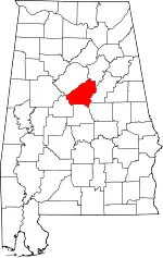 Map of Alabama highlighting Shelby County | |
| Towns | ||
| CDPs | ||
| Other unincorporated communities | ||
| Footnotes | ‡This populated place also has portions in an adjacent county or counties | |
This article is issued from Wikipedia. The text is licensed under Creative Commons - Attribution - Sharealike. Additional terms may apply for the media files.