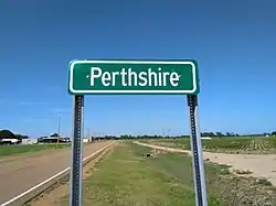
Perthshire, Mississippi
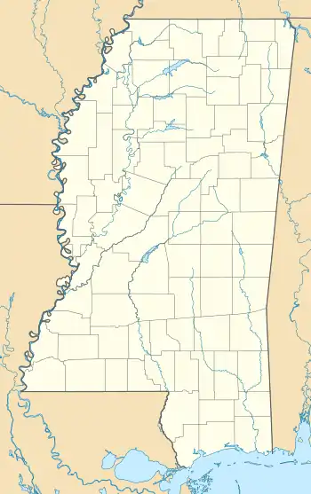
Perthshire is an unincorporated community located in Bolivar County, Mississippi, United States along Mississippi Highway 1. Perthshire is approximately 5 miles (8.0 km) south of Deeson and approximately 3 miles (4.8 km) north of Gunnison. Perthshire is located on the Riverside Division of the former Yazoo and Mississippi Valley Railroad.[2] Perthshire was once home to six general stores.[3]
Perthshire, Mississippi | |
|---|---|
 | |
 Perthshire, Mississippi  Perthshire, Mississippi | |
| Coordinates: 33°58′38″N 90°54′44″W | |
| Country | United States |
| State | Mississippi |
| County | Bolivar |
| Elevation | 135 ft (41 m) |
| Time zone | UTC-6 (Central (CST)) |
| • Summer (DST) | UTC-5 (CDT) |
| ZIP code | 38746 |
| Area code | 662 |
| GNIS feature ID | 675639[1] |
A post office operated under the name Perthshire from 1889 to 1963.[4]
 Box cars at the Perthshire depot were used as livestock stables during flooding in 1897
 Homes in the Perthshire community
References
- U.S. Geological Survey Geographic Names Information System: Perthshire, Mississippi
- Rowland, Dunbar (1907). Mississippi: Comprising Sketches of Counties, Towns, Events, Institutions, and Persons, Arranged in Cyclopedic Form. Vol. 2. Southern Historical Publishing Association. p. 410.
- Howe, Tony. "Perthshire, Mississippi". Mississippi Rails. Retrieved May 5, 2020.
- "Bolivar County". Jim Forte Postal History. Retrieved May 5, 2020.
Wikimedia Commons has media related to Perthshire, Mississippi.
This article is issued from Wikipedia. The text is licensed under Creative Commons - Attribution - Sharealike. Additional terms may apply for the media files.
