Pikin Saron
Pikin Saron (also Post Saron[3]) is an indigenous village of Kalina[2] Amerindians in the resort of Zuid in the Para District in Suriname. The village can be accessed from the Southern East-West Link, and is located on the Saramacca River.[3]
Pikin Saron | |
|---|---|
Village | |
 Pikin Saron | |
| Coordinates: 5.389444°N 55.359444°W | |
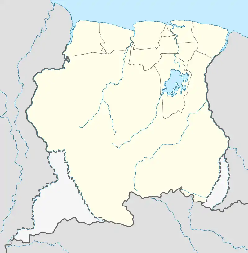
| Country | |
| District | Para District |
| Resort | Zuid |
| Government | |
| • Captain | Url Tapoto[1] |
| Population (2020)[2] | |
| • Total | 488 |
| Time zone | UTC-3 (AST) |
History
Pikin Saron was founded as a missionary post of the Moravian Church in 1756. It was located near the military outpost De Zeven Provinciën[4] which became later known as Post Saron.[3] The Amerindian were living in the savannah to the west of the post.[4] The tribe was hunting escaped slaves for the colony for money.[lower-alpha 1] In 1760, there were 84 Amerindians living in Saron. On 25 January 1761, the post was destroyed by the Saramaka Maroons.[5] 8 Amerindians were killed in the attack, and 11 women and children were taken prisoner.[6] On 19 September 1762, a peace treaty was signed between the Colony of Suriname and the Saramaka.[7]
Overview
Pikin Saron has a school and a clinic.[8] The Saron Bridge over the Saramacca River is located near the village. In 2011, the wooden bridge was replaced by a concrete bridge.[9]
In 2019, the Women Centre was renovated by Grassalco who operate a nearby gold mine.[10] In 2009, samples were taken of the river, and the river has been polluted with mercury.[11] In 2020, a police post was opened in the village.[12] The village chief since 2010 is Url Tapoto.[1]
Notes
- The Colony of Suriname paid the Amerindians ƒ 50,- for every captured slave, and ƒ 25,- for a cut-off right hand as proof of a killed slave.[5]
References
- "Dorpsnieuws". MARAKA. Vereniging van Inheemse Dorpshoofden in Suriname (in Dutch). 2010. p. 9.
{{cite magazine}}: Cite magazine requires|magazine=(help) - "Dorpen en Dorpsbesturen". Vereniging van inheemse dorpshoofden in Suriname (in Dutch). Retrieved 22 June 2022.
- "Surinaamsche Almanak voor het Jaar 1831". Digital Library for Dutch Literature (in Dutch). 1831. p. 233.
- Weiss 1921, p. 249.
- Weiss 1921, p. 250.
- Weiss 1921, p. 251.
- "Vredesverdrag Samaaka". Suriname.nu (in Dutch). 11 October 2020. Retrieved 28 February 2021.
- "Planning Office Suriname - Districts" (PDF). Planning Office Suriname (in Dutch). 2014. p. 131. Retrieved 28 February 2021.
- "President opent nieuwe brug Pikin Saron". Star Nieuws (in Dutch). Retrieved 28 February 2021.
- "Grassalco draagt gerenoveerd vrouwencentrum over". Star Nieuws (in Dutch). Retrieved 28 February 2021.
- Suleta Monsels (2010). "Beschrijving van de natuurlijke omgeving van de zuidelijke Oost-west verbinding" (PDF). Planning Office Suriname (in Dutch). p. 8.
- "Binnenkort politiecontrole op rijweg West-Suriname". Ministry of Regional Development (in Dutch). Retrieved 28 February 2021.
Bibliography
- Weiss, H. (1921). "De zending der herrnhutters onder de Indianen in Berbice en Suriname 1738-1816". New West Indian Guide / Nieuwe West-Indische Gids. De West-Indische Gids (in Dutch). 2: 187–197. doi:10.1163/22134360-90001814. S2CID 161594357.