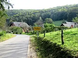
Podlipa, Žužemberk
Podlipa (pronounced [pɔˈdliːpa]) is a small village in the hills north of Dvor in the Municipality of Žužemberk in southeastern Slovenia. The municipality is included in the Southeast Slovenia Statistical Region and the wider area is part of the historical region of Lower Carniola.[2]
Podlipa | |
|---|---|
 | |
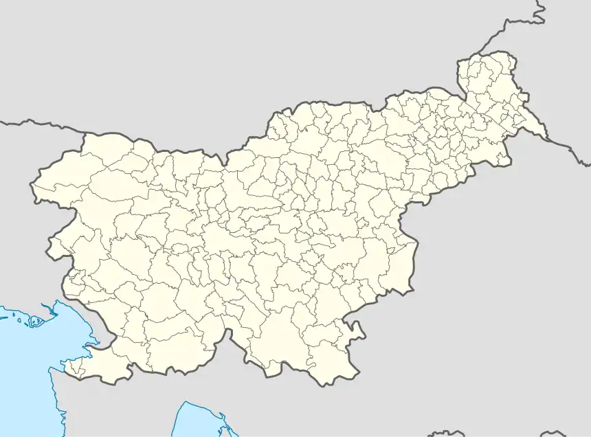 Podlipa Location in Slovenia | |
| Coordinates: 45°50′28.91″N 14°59′58.11″E | |
| Country | |
| Traditional region | Lower Carniola |
| Statistical region | Southeast Slovenia |
| Municipality | Žužemberk |
| Area | |
| • Total | 3.1 km2 (1.2 sq mi) |
| Elevation | 242 m (794 ft) |
| Population (2002) | |
| • Total | 44 |
| [1] | |
Name
The name of the settlement was recorded as Tylia in 1318, Linden in 1398, and Pod lippo in 1507.[3]
References
- Statistical Office of the Republic of Slovenia
- Žužemberk municipal site
- "Podlipa". Slovenska historična topografija. ZRC SAZU Zgodovinski inštitut Milka Kosa. Retrieved October 10, 2023.
External links
 Media related to Podlipa at Wikimedia Commons
- Podlipa on Geopedia

This article is issued from Wikipedia. The text is licensed under Creative Commons - Attribution - Sharealike. Additional terms may apply for the media files.