Provinces of Laos
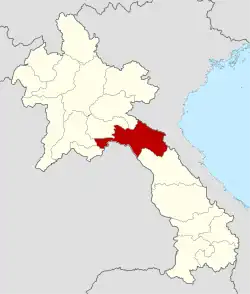
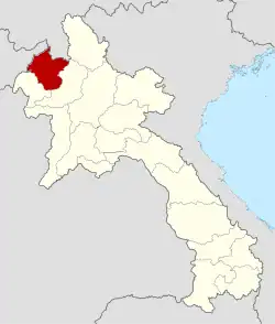
Laos, officially the Lao People's Democratic Republic, is divided into 17 provinces (Lao ແຂວງ, pronounced [kʰwɛ̌ːŋ], khoeng, qwang or khoueng) and one prefecture, the Vientiane capital city municipality (ນະຄອນຫຼວງ, nakhon louang, or Na Kone Luang Vientiane). The special administrative zone (ເຂດພິເສດ, khet phiset), Xaisomboun, created in 1994, was dissolved on 13 January 2006.[1] In 2013, parts of the former special administrative zone was reestablished as Xaisomboun province.
| Provinces ແຂວງ Khoeong | |
|---|---|
 | |
| Category | Unitary state |
| Location | Lao People's Democratic Republic |
| Number | 17 |
| Populations | 98,000 (Xaisomboun) – 1,004,000 (Savannakhét) |
| Areas | 3,920 km2 (1,510 sq mi) (Vientiane) – 21,774 km2 (8,407 sq mi) (Savannakhét) |
| Government |
|
| Subdivisions | |
| Administrative divisions of Laos |
|---|
| First-level |
| Second-level |
| Third-level |
|
Provinces and prefectures of Laos

Population
The population of each province in 2023 is given in the census data. The population of Laos in 2023 is 6,730,000.[2]
History
In 1989 Vientiane prefecture was split from Vientiane province and the capital of Vientiane province moved from Vientiane to Muang Phôn-Hông. In 1994 Xaisômboun khetphiset (special region) was formed from parts of the Bolikhamxai, Vientiane, and Xiangkhoang provinces. In 2006 Xaisomboun special region was dissolved and the Longsan, Xaysomboun, Phun, and Hom districts added to Vientiane province, while Thathon district was transferred to Xiengkhuang province.
Further divisions
The provinces are then subdivided into districts (muang) and villages (baan).
Geography
The provinces are grouped geographically into 3 strata, North (from Phongsaly to Saiyabouly, Luang Prabang and Xiengkhuang), Central (Vientiane and Bolikhamxay) and South (from Khammuane to Champasack).
References
- "Laos Provinces". Retrieved 2019-11-10.
- "Results of Population and Housing Census 2015" (PDF). Retrieved 2019-11-10.


