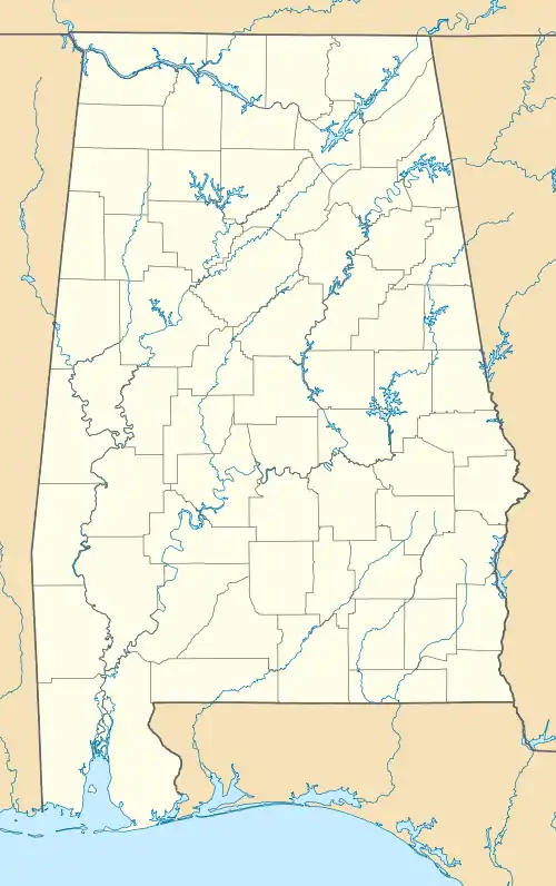
Putnam, Alabama
Putnam is an unincorporated community and census-designated place (CDP) in Marengo County, Alabama, United States.[3] As of the 2020 census, its population was 172.[2]
Putnam, Alabama | |
|---|---|
 | |
 Putnam  Putnam | |
| Coordinates: 32°1′22.8″N 88°1′51.6″W | |
| Country | United States |
| State | Alabama |
| County | Marengo |
| Area | |
| • Total | 9.48 sq mi (24.6 km2) |
| • Land | 9.48 sq mi (24.6 km2) |
| • Water | 0.00 sq mi (0.0 km2) |
| Elevation | 226 ft (69 m) |
| Population | |
| • Total | 172 |
| • Density | 18.13/sq mi (7.00/km2) |
| Time zone | UTC-6 (Central (CST)) |
| • Summer (DST) | UTC-5 (CDT) |
| Area code | 334 |
| FIPS code | 01-62952 |
Geography
Putnam is located at 32.023°N 88.031°W and has an elevation of 226 feet (69 m).[3] The community is in the southwest corner of Marengo County, along Alabama State Route 69. It is 28 miles (45 km) southwest of Linden, the county seat, and 24 miles (39 km) north of Coffeeville.
According to the U.S. Census Bureau, the Putnam CDP has an area of 9.5 square miles (25 km2), all of it recorded as land. It is bordered to the north by Horse Creek and to the south by Big Bunny Creek, west-flowing tributaries of the Tombigbee River.
Demographics
| Census | Pop. | Note | %± |
|---|---|---|---|
| 2010 | 193 | — | |
| 2020 | 172 | −10.9% | |
| U.S. Decennial Census[4] | |||
As of the 2010 United States Census, there were 193 people living in the CDP. The racial makeup of the CDP was 72.5% Black, 23.3% White, 2.6% Native American and 1.6% from two or more races.
References
- "2021 U.S. Gazetteer Files". United States Census Bureau. Retrieved April 11, 2022.
- "Putnam CDP, Alabama: 2020 DEC Redistricting Data (PL 94-171)". U.S. Census Bureau. Retrieved April 11, 2022.
- "Putnam, Alabama". AL HomeTownLocator. Retrieved December 5, 2008.
- "Census of Population and Housing". Census.gov. Retrieved June 4, 2016.
