Camuy River
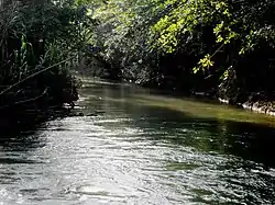
The Camuy River (Spanish: Río Camuy; Spanish pronunciation: [kaˈmuj]) is a river in Puerto Rico. It is the third largest underground river in the world and[3] helped shape the cave system known as the Rio Camuy Caves.[4][5][6]
| Camuy River | |
|---|---|
 Camuy River | |
| Native name | Río Camuy (Spanish) |
| Location | |
| Commonwealth | Puerto Rico |
| Municipality | Camuy, Hatillo, Lares |
| Physical characteristics | |
| Source | |
| • location | Camuy Caverns between the municipalities of Camuy, Hatillo and Lares |
| • coordinates | 18.4877218°N 66.8368437°W[1] |
| Mouth | |
• location | Atlantic Ocean in Camuy Pueblo and Hatillo barrio |
The river and water flow systems of Río Camuy have been studied by the US Geological Service in 1995.[7]
Gallery
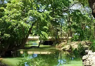 Río Camuy with pedestrian bridge
See also
References
- U.S. Geological Survey Geographic Names Information System: Río Camuy
- U.S. Geological Survey Geographic Names Information System: Río Camuy
- "Programa de Parques Nacionales de Puerto Rico". Departamento de Recreación y Deportes (in Spanish). Retrieved 18 February 2019.
- Martinez-Carter, Karina (November 14, 2011). "Puerto Rico's underground caves". BBC. Retrieved 18 February 2019.
- "Jacksonville District Navigable Waters Lists" (PDF). saj.usace.army.mil. SAJ. Archived (PDF) from the original on 2015-03-31. Retrieved 18 February 2019.
- "Rios de Puerto Rico" (in Spanish). Archived from the original on October 23, 2008.
- Patrick Tucci; Myrna I. Martinez. Hydrology and Simulation of Ground Water Flow in the Aguadilla to Rio Camuy Area, Puerto Rico (PDF) (Report). US Dept. of the Interior.
External links
 Media related to Río Camuy at Wikimedia Commons
- USGS Hydrologic Unit Map – Caribbean Region (1974)
This article is issued from Wikipedia. The text is licensed under Creative Commons - Attribution - Sharealike. Additional terms may apply for the media files.